Sept 28, 2019
Welcome back to Weather Center’s 15th Weekly Update! Last Weekly Update we had Game Day and it was a good one for sure! If you didn’t participate in Game Day, that’s okay, we have one every month! That leads me to my next point. Because Game Day is so popular and well loved, Weather Center is starting a seasonal challenge. Winter, Spring, Summer, Fall Challenges with even MORE questions, MORE challenges, and MORE competition with a theme of that season! We have a Fall challenge on October 19th, you don’t want to miss it! Let’s dive in:
Contents:
Introduction
⚠️Hurricane Watch⚠️
Heat Center
Weather Forecast
Wildest Weekly Weather
Videos Page
Special Content
More and Updates
⚠️Hurricane Watch⚠️

Hurricane Lorenzo, now a Cat 3, was originally a Cat 4 in the Atlantic. In fact, Lorenzo was the first Cat 4 hurricane in the east Atlantic on record! It is slowly weakening as it speeds N/NE at a fast pace. Here is its track right now.

Made by WC
It is expected to dissipate as it nears Europe and then soon turn into a tropical depression and die off completely before making landfall. Other than Lorenzo, there are no other active threatening hurricanes at this moment!
Heat Center

Made by WC
Yes, it’s not going to cool off much unfortunately but we will see a break for sure from the 100 and 90 degree weather! In fact, Sept 23 was the first day of Fall! To celebrate, WC has changed it’s front page to a Fall theme! Stay cool as we enter an above average temperature Fall for North Texas!
EXTENDED Weather Forecast:
Today– Mostly Sunny️☀️, High 92’/ Low 73′. Then a 20% chance of showers in the evening.💦
Sunday- Partly Cloudy☁️☀️, High 93’/ Low 74′. Then a 20% chance of showers in the evening.💦
Monday– Mostly Sunny☀️, High 92’/ Low 74′.
Tuesday– Mostly Sunny☀️, High 92’/ Low 72′.
Wednesday– Mostly Sunny☀️, High 91’/ Low 70′.
Thursday– Partly Cloudy☁️☀️, High 90’/ Low 65′. Then a 30% chance of showers.💦
Friday– Thunderstorms possible in the morning (40%)⚡💦, High 84’/ Low 64′. Then Cloudy in the afternoon.
Saturday– Partly Cloudy☁️☀️, High 86’/ Low 63′.
Sunday- Partly Cloudy☁️☀️, High 86’/ Low 64′. Then a 20% chance of showers in the evening.💦
Monday– Partly Cloudy☁️☀️, High 84’/ Low 64′. Unknown Rain %
Tuesday– Mostly Sunny☀️, High 84’/ Low 63′. Unknown Rain %
Wednesday– Partly Cloudy☁️☀️, High 85’/ Low 64′. Unknown Rain %
*Forecast has been measured for the DFW area only. Other places may have different Weather readings*
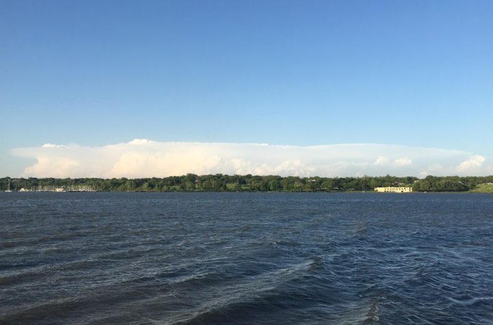
Wildest Weekly Weather

Unsplash Image
A record snow storm is impacting Montana in a devastating way. Several feet of snow is expected to accumulate in Montana and Northern Wyoming areas. Strong winds 50-60 mph are expected for this weekend as many rounds of intense snow storms come in. This was all caused by a shift in the jet stream that brought extremely low temperatures for Montana and caused some record snow fall this time of year already! Temperatures are expected to plunge to about 35 degrees below average for this time of year! Daytime temps could be around 30-40 degrees while night temps plunge into the 20’s. While snow is very beautiful and is sometimes one of the most spectacular phenomenons observed in winter months and can change a landscape into a wonderland, it can be very dangerous when it comes to extremely low temps and blizzard-like conditions. (white out)