Weather Center brings you the Severe Weather Forecast this week! There is now a chance for severe weather for DFW this week! If you didn’t see last Weather Center blog on the Severe Weather Outbreak, click HERE TO VIEW IT.
Severe Weather Chances:
Now, I mentioned yesterday that SPC may up the risk. Well… they did. DFW and other parts of North Texas are under an Enhanced risk and additionally there is a chance they could up it. It’s a low chance but its possible. Now, again, there is a new line of storms that will advance with a cold front and potentially cause a couple isolated but potentially STRONG tornadoes, large hail, and strong winds.
The Highest Risk is for Strong Winds and Hail. But, the continuing amount of research shows the tornado risk increasing and now has a 10% with a Sig value on it. What I ask is that all of you stay weather aware, and KNOW how to check if you are in danger because storms can come out of nowhere and if you don’t know when and where they could hit, then you are in danger.
Check out these places to stay informed and Weather Aware and download the AccuWeather or Weather Channel app to see the info they have in there!
(https://www.weathercentertx.com/weather-data/)
Severe Weather Data:

Discussion:
ACUS02 KWNS 211732
SWODY2
SPC AC 211731

Day 2 Convective Outlook
NWS Storm Prediction Center Norman OK
1231 PM CDT Tue Apr 21 2020

Valid 221200Z - 231200Z

...THERE IS AN ENHANCED RISK OF SEVERE THUNDERSTORMS LATE WEDNESDAY
AFTERNOON INTO WEDNESDAY NIGHT ACROSS PARTS OF SOUTHEASTERN
OKLAHOMA...MUCH OF NORTHEASTERN TEXAS...SOUTHWESTERN ARKANSAS AND
NORTHWESTERN LOUISIANA...

...SUMMARY...
Severe thunderstorms are expected to develop east of the Interstate
35 corridor of southern Oklahoma into north central Texas by late
Wednesday afternoon, before spreading southeastward across the
Ark-La-Tex and Piney Woods Wednesday evening, into the lower
Mississippi Valley by Thursday morning.  This will be accompanied by
a risk for severe hail, a few tornadoes, and potentially damaging
wind gusts.

...Synopsis...
While mid-level ridging may begin to build across the eastern
Pacific, downstream flow across the eastern U.S. into the western
Atlantic may trend more zonal during this period.  This is expected
to occur as a strong short wave trough within a distinct northern
branch of mid-latitude westerlies pivots east-northeast of the New
England coast.  As an upstream perturbation rounds the crest of the
eastern Pacific ridging, and digs into the Pacific Northwest, a
fairly significant southern stream impulse is forecast to turn east
of the southern Rockies, toward to the middle/lower Mississippi
Valley Wednesday through Wednesday night.

The southern stream perturbation appears likely to maintain a
positive-tilt orientation, but models continue to suggest that it
will be accompanied by a slowly deepening surface cyclone, from the
southern Texas Panhandle vicinity early Wednesday morning into the
Mid South by late Wednesday night.

Initially cool/dry and stable boundary layer air, reinforced by a
cold front associated with the lead northern branch impulse, likely
will be entrenched as far south and west as northern Florida and the
northeastern Gulf of Mexico into the lower Mississippi Valley at 12Z
Wednesday.  Some modification may already be underway across parts
of the southeastern Plains, but a more established return flow is
expected to be ongoing from across the lower Rio Grande Valley into
the vicinity of the developing cyclone.  And this moisture return
may gradually broaden eastward within an evolving warm sector across
the lower Mississippi Valley by late Wednesday night.

The moisture return and associated destabilization, coincident with
large-scale forcing for ascent and strengthening deep-layer wind
fields and vertical shear, probably will support increasing severe
weather potential across the southern Plains into the lower
Mississippi Valley.

...Southern Plains...
Some uncertainties do linger, which could impact convective
evolution and associated severe weather potential.  This includes
the potential for fairly strong capping associated with elevated
mixed-layer air, which may initially suppress convective
development, particularly along a sharpening dryline to the south of
the surface cyclone.  This may also impact areas east of the
dryline, across much of eastern Texas, but considerable model output
appears to suggest that large-scale forcing for ascent, likely aided
by lower/mid tropospheric warm advection, may support increasing
convective development by midday across this region, before
spreading toward the lower Mississippi Valley.  This activity could
be accompanied by some risk for severe hail, but probably would also
reinforce stable boundary layer conditions.

A consensus of model guidance does suggest that substantive
boundary-layer destabilization through much of the day Wednesday may
be initially confined to a fairly narrow corridor along the dryline,
roughly along/east of the Interstate 35 corridor of central/southern
Oklahoma into north central Texas by late afternoon.  However,
mixed-layer CAPE of 1000-2000+ J/kg, in the presence of strong
deep-layer shear is expected to provide a conducive environment to
discrete supercell development.

Aided strengthening wind fields to 40-50+ kt in the 850-700 mb
layer, contributing to sizable clockwise curved low-level
hodographs, the supercells may be accompanied by increasing risk for
a few tornadoes, some strong, while spreading eastward into early
evening.

Thereafter, continued gradual low-level moisture advection and
boundary layer destabilization ahead of the convective activity,
coupled with mid-level cooling, may support the evolution of an
upscale growing convective system with a transition to increasing
potential for damaging wind gust, along with a continuing risk for
tornadoes.  This is expected to overspread the Ark-La-Tex region and
Piney Woods of Texas through late Wednesday evening, before
progressing eastward into the lower Missisippi Valley overnight.

..Kerr.. 04/21/2020

$$
Forecast data is produced manually by expert meteorologists at the NWS Storm Prediction Center. See their site for the most up-to-date official forecasts.

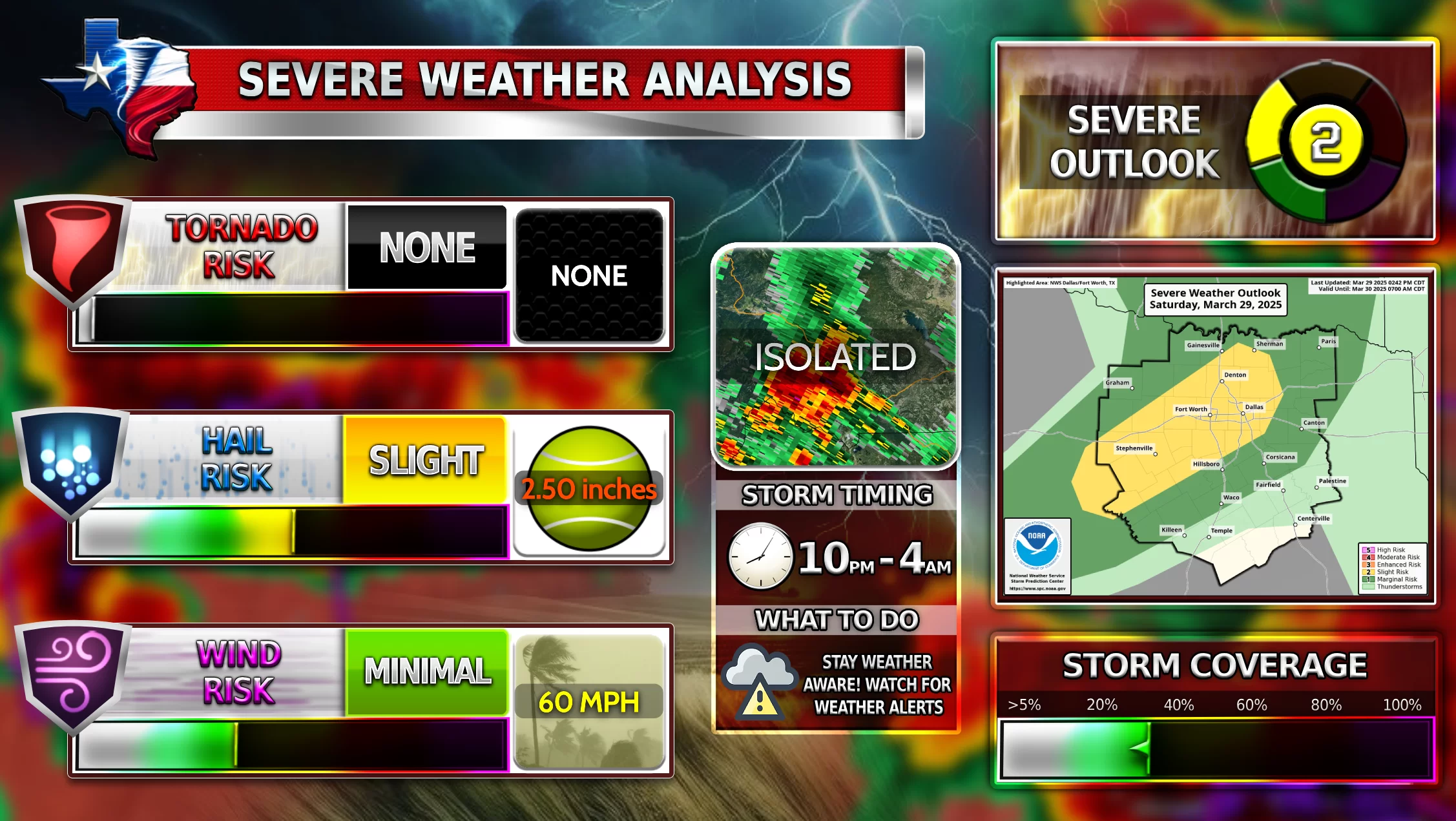
Tornado Risk: Medium
Wind Risk: High
Hail Risk: Extremely High
Know what to do if there is a tornado warning or severe thunderstorm warning. Spend time tonight and practice in order to be prepared for tomorrow or any future times. Mother Nature can be unpredictable so we must be prepared for anything. The models just give us an idea.
Severe Weather Timing:
There is a wave of storms that could sink down from the north west in Oklahoma tonight and hit around 9:00-12:00 tonight into midnight. Stay weather aware for that. Small hail and winds possible in that storm.

Second, the main wave tomorrow will come around 8:00-12:00 PM from morning til noon. Stay Weather aware. Tornadoes, Large hail, and Strong Winds possible. Weather Center will keep you updated with the latest weather. Unfortunately, WC will probably not be able to go live tomorrow so they will update you through the website forum!
Stay Safe Y’all during this potential Severe Weather Outbreak!
so long,
Weather Center
[jp_post_view]