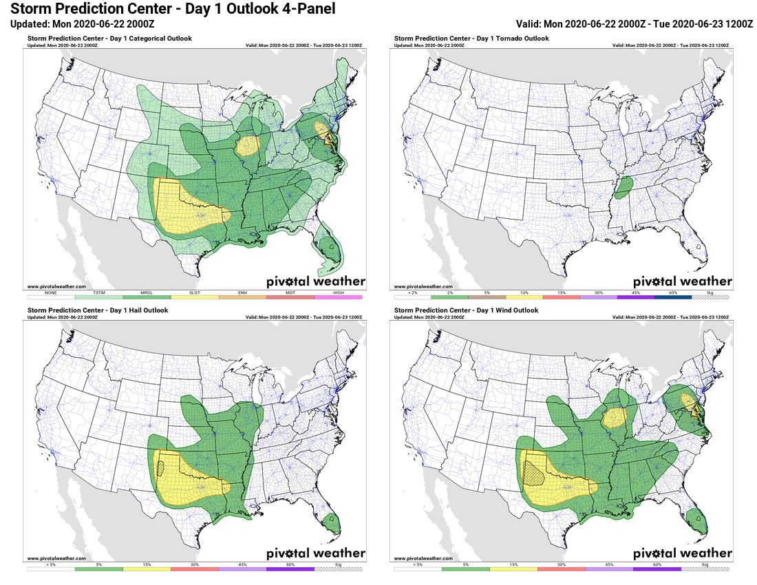
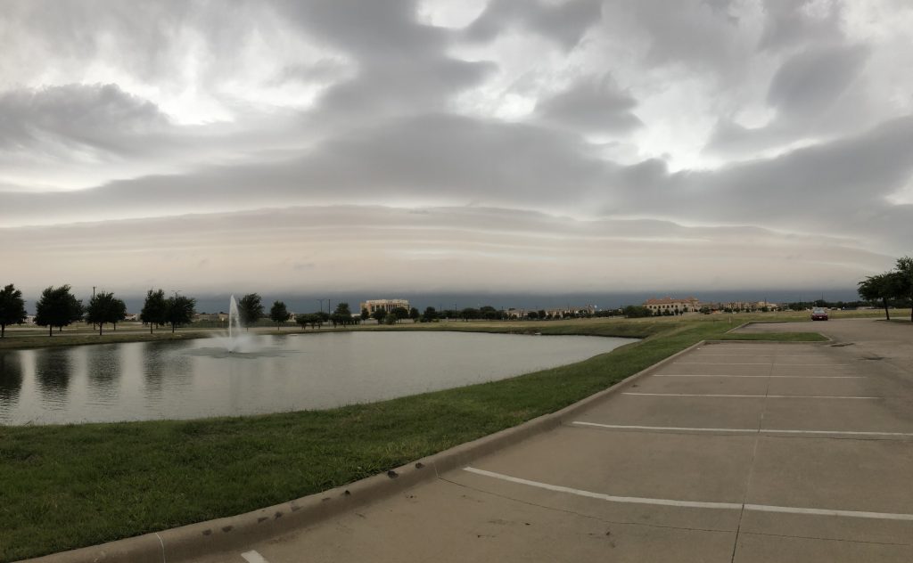
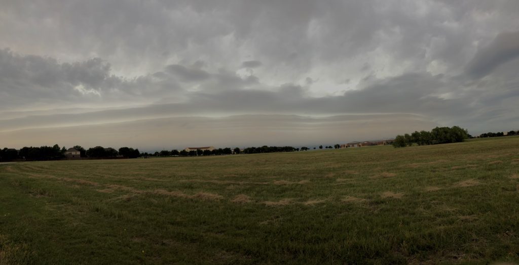
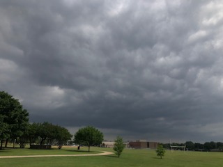
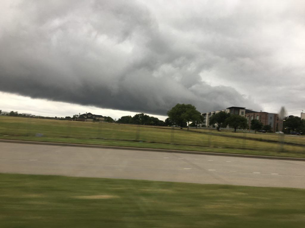
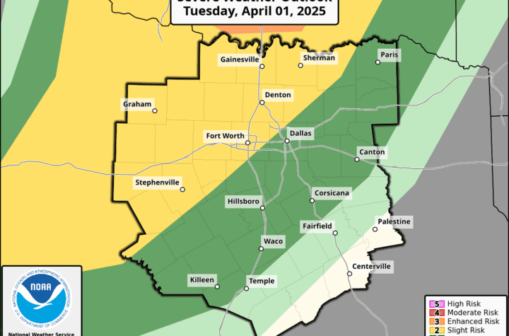
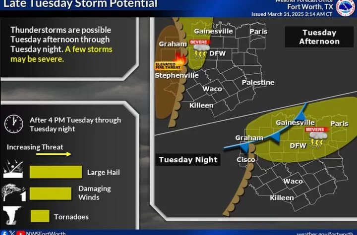
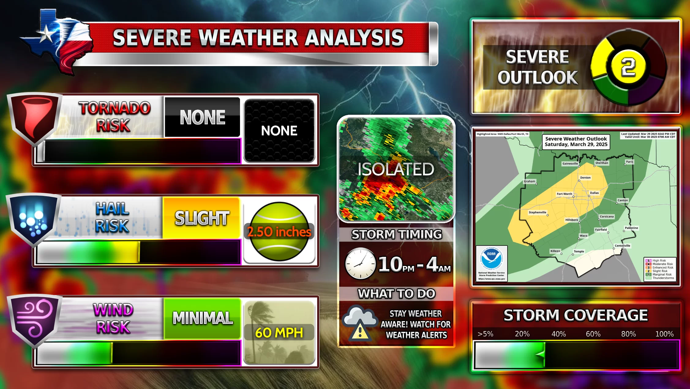
Severe Weather chances increase as we move more into the late afternoon and evening hours! DFW and North Texas is currently under a Slight Risk according to NOAA. Storms have quickly become severe up in the panhandle of Texas and storms will continue to move along the cold front and High Pressure System. The biggest risk for tonight is strong (50-60 MPH) winds gusts and some larger hail possible. Tornadoes should not be an issue AT ALL tonight. The timing for these storms will be most likely past Midnight. Storms will continue for the first half of tomorrow at least and stretch even into Wednesday. Then it will stay dry for a while until possibly the weekend this week.
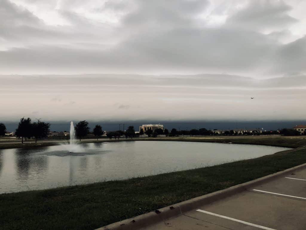
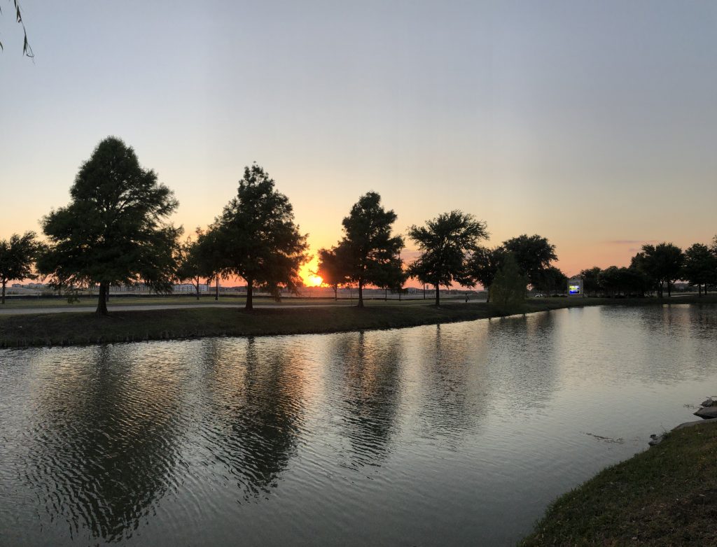
Cool right? If you have any weather Center pictures you’d like to share, comment below and I’ll connect with you and try to get some of yours on WC website!
WC T-shirts

WC has met its Quota for shirts! Thank you so much for buying them! WC is so thankful. If you still want to buy them, CLICK HERE! 9 Days left!
WC Updates
- Weather Warnings Side Bar and Current Warnings page under Weather Data>Current Warnings. BETA
- Finished all Locations under Weather Data>US Interactive Radar>*All Location Data*
- Volcano and Earthquake Map (https://www.weathercentertx.com/weather-data/volcanoe-and-earthquake-map/)
Enjoy and stay Weather Aware!
Weather Center
[jp_post_view]
