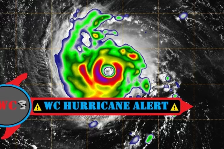
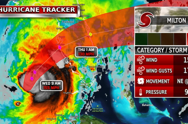
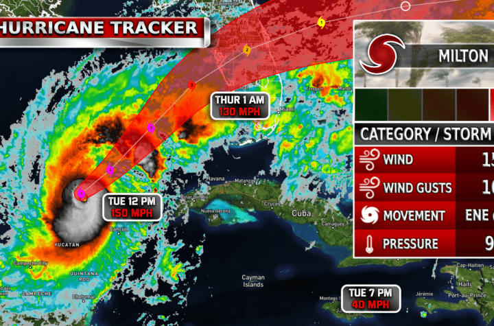
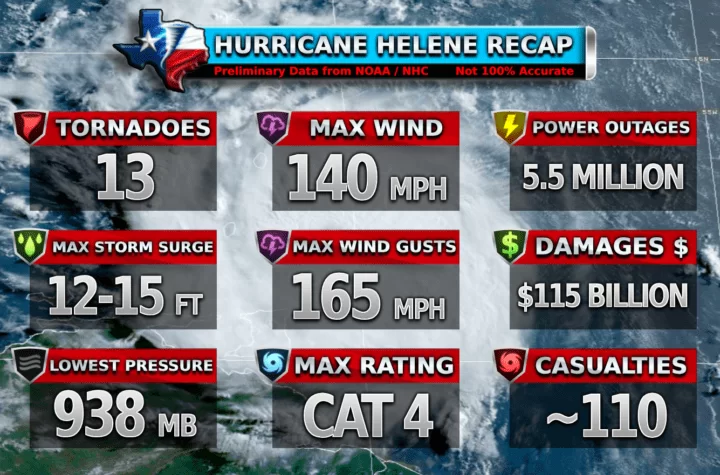
Hurricane Laura, currently as of 4:00 PM Tuesday 8/25/2020, is a CAT 1 and increasing its strength rapidly. The following is a brief description of this hurricane.
4:00 PM CDT Tue Aug 25 2020
Location: 24.7°N 88.3°W
Moving: WNW at 17 mph
Min pressure: 990 mb
Max sustained: 80 mph
According to NHC (National Hurricane Center), Hurricane Laura will reach up to a CAT 3 (classified as a major hurricane of 110 MPH+ sustained winds). Hurricane Laura is not only going to make landfall as a CAT 3 potentially, but it packs a punch with its rain, wind, and storm surge potential.
Hurricane Laura Data
The storm surge is a major issue right now. Just look at this NOAA NHC graphic describing Hurricane Laura’s Peak Surge.

As you can see, some areas could get up to 13 feet of peak storm surge! Evacuations have been made in some places and the coasts of Louisiana, Texas, and Mississippi are all on alert. Hurricane force winds will also be a concern. Check out the graphic below by NOAA NHC on the probability of tropical storm force winds cone (<74 MPH).

Hurricane Laura Arrival time
Hurricane Laura is expected to arrive and make landfall between 10:00 PM Wednesday and 2:00 AM Thursday as a CAT 3. 110 MPH sustained winds and 10-13 foot peak storm surge. Now you may ask, what effects could we have here in DFW? Well, DFW will get most likely some rain bands as Laura moves in tomorrow (Perhaps some rain in the morning and evening). East Texas and Southeastern Texas could actually get some of the winds from the storm (20-30 MPH) and plenty of rain most likely of course. Stay weather aware y’all.

Hurricane Laura Forecast Discussion
NHC NOAA Discussion.
“For weather geeks who want to know like… everything…”
Satellite imagery shows that Laura has become a little better organized since it crossed western Cuba, and it now has a central dense overcast and some outer banding in the southern quadrant. Reports from Air Force Reserve and NOAA Hurricane Hunter aircraft included SFMR winds of near 65 kt, 700-mb flight-level winds as high as 77 kt, and a central pressure near 990 mb. Based on these data, Laura has been upgraded to a hurricane with an initial intensity of 65 kt.
The initial motion is west-northwestward or 290/14 kt. The hurricane is currently on the south side of a large-deep layer ridge over the southeastern United States, and it is moving toward a break in the ridge caused by mid- to -upper-level troughing over Texas and the southern Great Plains. The current and forecast synoptic pattern should steer Laura west-northwestward today followed by a turn toward the northwest tonight and toward the north by Wednesday night and Thursday. This will result in the hurricane making landfall in the area of southwestern Louisiana or the upper Texas coast late Wednesday night or Thursday morning. The new forecast track before landfall has been nudged a little to the west of the previous track in response to a westward nudge in the guidance. However, it still lies a little east of the consensus models at the time of landfall.
After landfall, Laura is expected to recurve into the westerlies and move eastward through the Tennessee Valley and the mid-Atlantic States. The hurricane currently looks a little ragged, with little or no convection outside of the central dense overcast and the southern quadrant banding. This may be due to dry air in the vicinity and some light northerly shear. Conditions appear generally favorable for strengthening during the next 36 h, and the new intensity forecast calls for Laura to become a major hurricane during this time. The global model are in good agreement that the hurricane should encounter increasing shear in the last 12 h before landfall, although the potential impacts on the landfall intensity are unclear.
After landfall, Laura should weaken through the 96 h point. After that, some re-intensification is expected as the storm becomes extratropical. Users are again reminded not to focus on the exact details of the track or intensity forecasts as the average NHC track error at 48 h is around 80 miles and the average intensity error is close to 15 mph. In addition, wind, storm surge, and rainfall hazards will extend far from the center.
Key Messages:
1. Laura is forecast to reach the northwestern Gulf Coast at or near major hurricane intensity Wednesday night. Do not focus on the details of the official forecast given the typical uncertainty in NHC’s track and intensity predictions. Storm surge, wind, and rainfall hazards will extend well away from Laura’s center along the Gulf Coast.
2. There is the danger of life-threatening storm surge accompanied by large and dangerous waves from San Luis Pass, Texas, to the Mouth of the Mississippi River, including areas inside the Port Arthur Hurricane Flood Protection system. A Storm Surge Warning is in effect and residents should follow any advice given by local officials. Actions to protect life and property should be rushed to completion today, as water levels will begin to rise Wednesday.
3. Hurricane conditions are expected by Wednesday evening in the area from San Luis Pass, Texas, to west of Morgan City, Louisiana, and a Hurricane Warning is in effect. Tropical storm conditions are expected to begin in the warning area Wednesday afternoon.
4. The threat of widespread flash and urban flooding along with small streams overflowing their banks will be increasing Wednesday night into Thursday from far eastern Texas, across Louisiana, and Arkansas. This will also lead to minor to isolated moderate river flooding. The heavy rainfall threat will spread northeastward into the middle-Mississippi, lower Ohio, and Tennessee Valleys Friday and Saturday.
$$
Forecaster Beven
WC Storm Reports
Go through simple training in order to become a WC Storm Reporter. Here you can submit reports to the WC Database which can be used to improve forecasts and also can be used in blogs with you listed with your report to further warnings to others. So, become one today to get in on the experience, find joy in knowing you are helping others, and be proud because your reports could show up on WC blogs!
Hurricane Laura Live Tracker
Love Weather Center and want TONS more data? Want MORE of the WC experience? Become a member today so you can get access to:
Get your FREE account NOW!
Learn More about:
- Weather Skill Points, ranking, and Badges. (100 free credits)
- Forum posts and features
- Instant Comments on blogs
- And opportunities to gain Skill Points to unlock Premium Content!
- Complete Goals to receive WC Diamonds!
- Compete and Rank up in the WC Community Leaderboard for credit that can be used to unlock premium content!
Make sure to subscribe to Weather Center too!
Weather Center
[jp_post_view]


