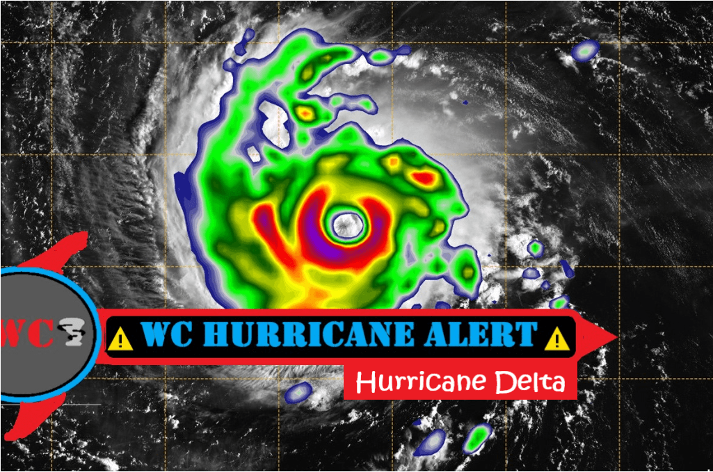
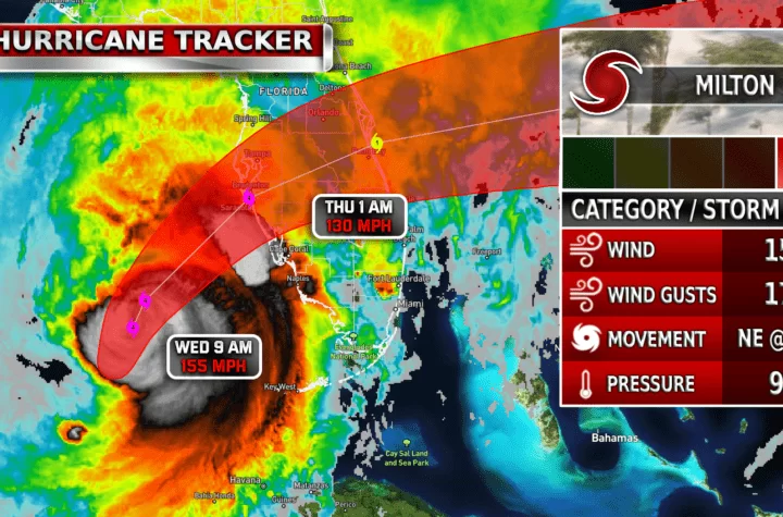
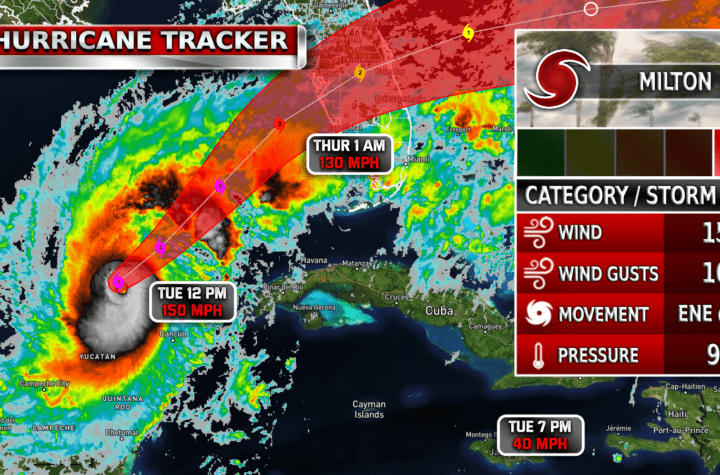
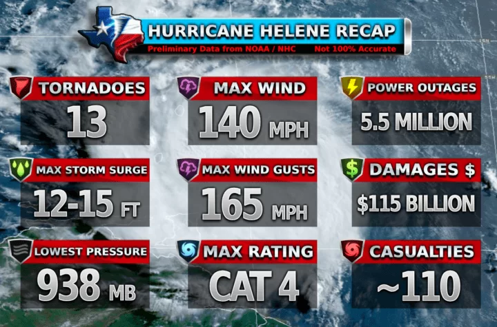
Hello, welcome back to Weather Center! There is a new hurricane heading for the US if you didn’t know, and its name is Hurricane Delta. Standing at a CAT 2 currently as of 10 AM, it has a projected path straight for Louisiana. How dangerous could this hurricane be? The Hurricane was originally a CAT 4 out by Cuba area but lowered in category when it made landfall this morning in Mexico (Puerto Morelos). It is expected to strengthen into a CAT 4 again and head towards Louisiana. Hurricane Delta is not expected to strengthen to a Cat 5 since there is a high pressure system affecting it largely but there is a very slight unlikely chance. Here are the latest stats, details, and tracks:
Latest on Hurricane Delta 2020
10:00 AM CDT Wed Oct 7
Location: 21.4°N 88.0°W
Moving: NW at 17 mph
Min pressure: 975 mb
Max sustained: 105 mph
Currently = CAT 2🌀
Expected to get to = CAT 4 🌀 (20-30% for a CAT 5)
![[Key Messages] Weather Center NHC](https://www.nhc.noaa.gov/storm_graphics/AT26/refresh/AL262020_key_messages+png/151609_key_messages_sm.png)
See the Latest on Hurricane Delta 2020 and its Track here!
Main Risks:
Rain: About 8-12 inches of rain could fall from Hurricane Delta
Storm Surge: Most areas 4-6 feet of storm surge. Areas at risk could get 7-11 feet of storm surge. Storm surge is not quite as bad as it could be which is good.
Winds: 110 MPH winds with over 140 MPH gusts possible could cause major damage in some areas.
![[Image of probabilities of 34-kt winds]](https://www.nhc.noaa.gov/storm_graphics/AT26/refresh/AL262020_wind_probs_34_F120+png/151609.png)
States at risk by are:
Louisiana (Mainly) , Mississippi, Texas
Timing
Landfall could be around 1:00 PM (Earliest) on Friday to 3-4:00 PM (Latest) on Wednesday.
Stay Weather Aware!
WC Updates
Derecho Weather 101
Hurricane Weather 101
US Weather Alerts Page
Major Tornadoes Page coming soon!
Snow Center Page Coming Soon!
Share Weather Center!
Share this blog and WC to grow our traffic! We would greatly appreciate it! 🙂
Become a TWC Member today for FREE!
Support Texas Weather Center
Join the TWC Membership through Patreon to show your support and keep TWC high quality and FREE!
Texas Weather Center Supporters
🥉Kathryn
🥇David Bass
🥉cslewis1234
🥉Robert Fasulo
🥈Carol
Join TWC’s Facebook Group to interact with a community, see the latest updates from TWC, and share your weather photos!


