On Tuesday night, a very strong line of storms developed in West Texas up into Oklahoma. This strong line of storms was rotating around a low pressure system located in Oklahoma. Because of this the storm had mesocyclonic properties (meaning it increases the chances for tornado development). While the National Weather Service had the chance of tornadoes for the DFW area at a 2% chance, there indeed were tornadoes.
The line of storms hit the DFW area around 8:42 PM for those in the Plano area, 8:43 PM for McKinney area, 8:52 PM for Dallas area, etc. The strong parts of the storms contained about 40-50 MPH sustainable winds and about 60-65 MPH wind gusts. Some medium size to larger size hail was recorded up in the Denton area. Now, enough stats! Let’s go into the meat of this blog…
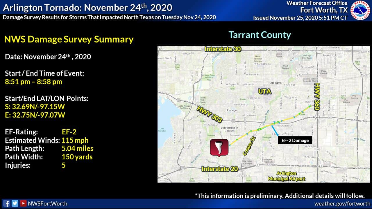
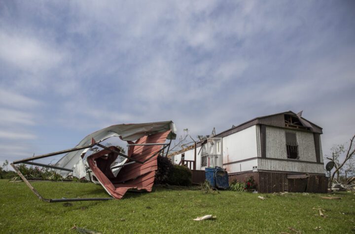
EF-2 Tornado Damage in Arlington!
Below is a video by Texas Storm Chasers on the tornado damage! (by the way, if you want AWESOME Storm Chasing footage in Texas, they are the go to place)
The Tornado touched ground at 8:51 PM on November 24th, 2020 just around Interstate 20 and Cooper St. The tornado lasted 8 minutes. That’s why you must take tornado warnings seriously. It began very weak and “rope like” with characteristics like a EF-0. Then the tornado became stronger and the damage increased by The Waterdance Apartment complex. Luckily, only 5 people were injured and no deaths were reported.

Do you see the rotation in the storm? The red spot in the storm between all the green is the area of the tornado. Using Radar Velocity, which shows the direction of rain going towards the radar and away from the radar, it can track down where rain is “rotating” … proving there is rotation or a tornado.
Enhanced Fujita Scale
EF0…Weak……65 to 85 mph
EF1…Weak……86 to 110 mph
EF2…Strong….111 to 135 mph
EF3…Strong….136 to 165 mph
EF4…Violent…166 to 200 mph
EF5…Violent…>200 mph
What is a Hook Echo?
It is a Hook-shaped weather radar signature in a supercell storm or strong line of storms. It is found on the lower parts of mesocyclonic storms where there is an inflow of moist air which is the fuel input of the storm. This produces a hook shape on radar and is a sign of tornadoes, very large hail, rotation, or large amounts of debris from tornadoes!
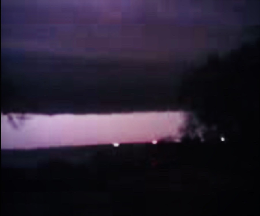
Photo by a friend!
Aerial Tornado damage views by WFAA!
Become a TWC Member today for FREE!
Support Texas Weather Center
Join the TWC Membership through Patreon to show your support and keep TWC high quality and FREE!
Texas Weather Center Supporters
🥉Kathryn
🥇David Bass
🥉cslewis1234
🥉Robert Fasulo
🥈Carol
Join TWC’s Facebook Group to interact with a community, see the latest updates from TWC, and share your weather photos!
