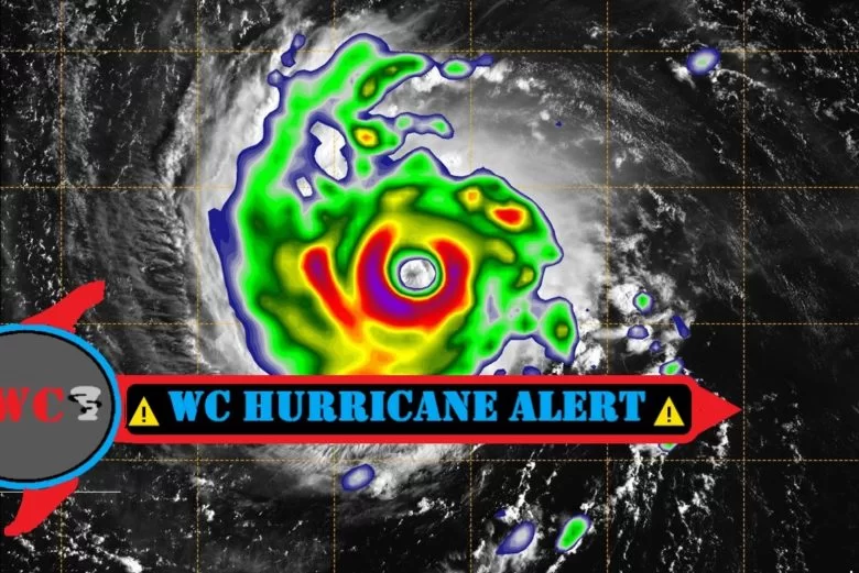
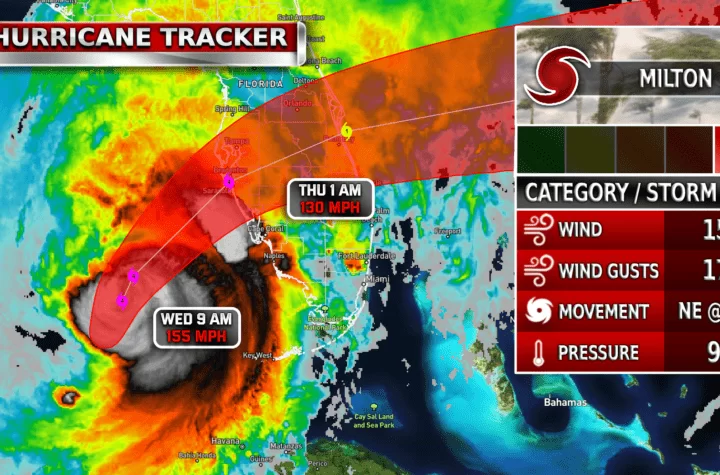
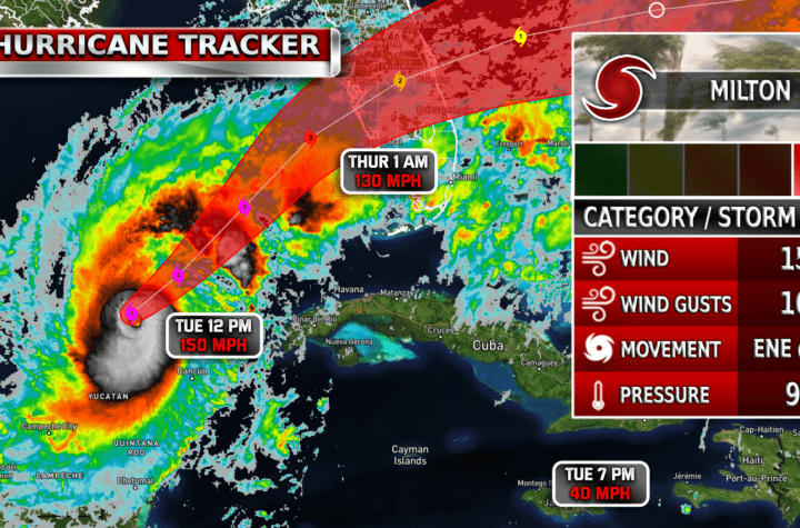
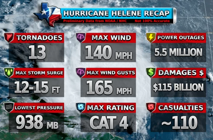
Currently a Cat 1 Hurricane, hurricane Ida is posing a serious threat to Louisiana and Mississippi. It is expected to upgrade to a Cat 4 by Sunday afternoon before landfall. The storm poses a serious threat to those in the area, evacuation orders have already gone into effect in the surrounding areas. The storm may make landfall as of right now as either a Cat 3 or Cat 4 hurricane.
NHC Discussion
Key Messages:

1. Life-threatening storm surge and hurricane conditions are
expected to continue through tonight in portions of western Cuba,
including the Isle of Youth, where a Hurricane Warning is in effect.
Life-threatening heavy rains, flash flooding and mudslides are
expected across Jamaica, the Cayman Islands, and western Cuba,
including the Isle of Youth.

2. There is a danger of life-threatening storm surge inundation
Sunday along the coasts of Louisiana and Mississippi within the
Storm Surge Warning area. Extremely life-threatening inundation of
10 to 15 feet above ground level is possible within the area from
Morgan City, Louisiana, to the Mouth of the Mississippi River.
Interests throughout the warning area should follow any advice given
by local officials.

3. Ida is expected to be an extremely dangerous major hurricane when
it reaches the coast of Louisiana. Hurricane-force winds are
expected Sunday in portions of the Hurricane Warning area along the
Louisiana coast, including metropolitan New Orleans, with
potentially catastrophic wind damage possible where the core of Ida
moves onshore. Actions to protect life and property should be rushed
to completion in the warning area.

4. Ida is likely to produce heavy rainfall later Sunday into Monday
across the central Gulf Coast from southeast Louisiana to coastal
Mississippi and Alabama, resulting in considerable flash, urban,
small stream, and riverine flooding impacts. As Ida moves inland,
flooding impacts are possible across portions of the Lower
Mississippi and Tennessee Valleys.
Stats
- Upwards of 15-17 inches of rain in the core of the storm
- Winds in the 140-150 mph range
- Expected to make landfall at around 5-8 PM Sunday night
Become a TWC Member today for FREE!
Support Texas Weather Center
Join the TWC Membership through Patreon to show your support and keep TWC high quality and FREE!
Texas Weather Center Supporters
🥉Kathryn
🥇David Bass
🥉cslewis1234
🥉Robert Fasulo
🥈Carol
Join TWC’s Facebook Group to interact with a community, see the latest updates from TWC, and share your weather photos!


