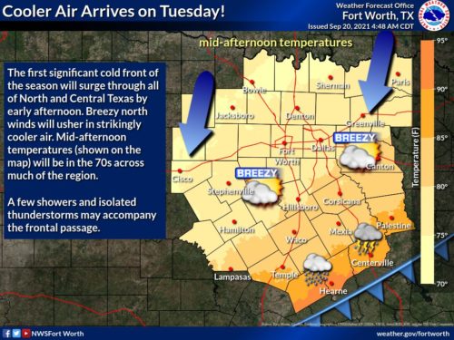
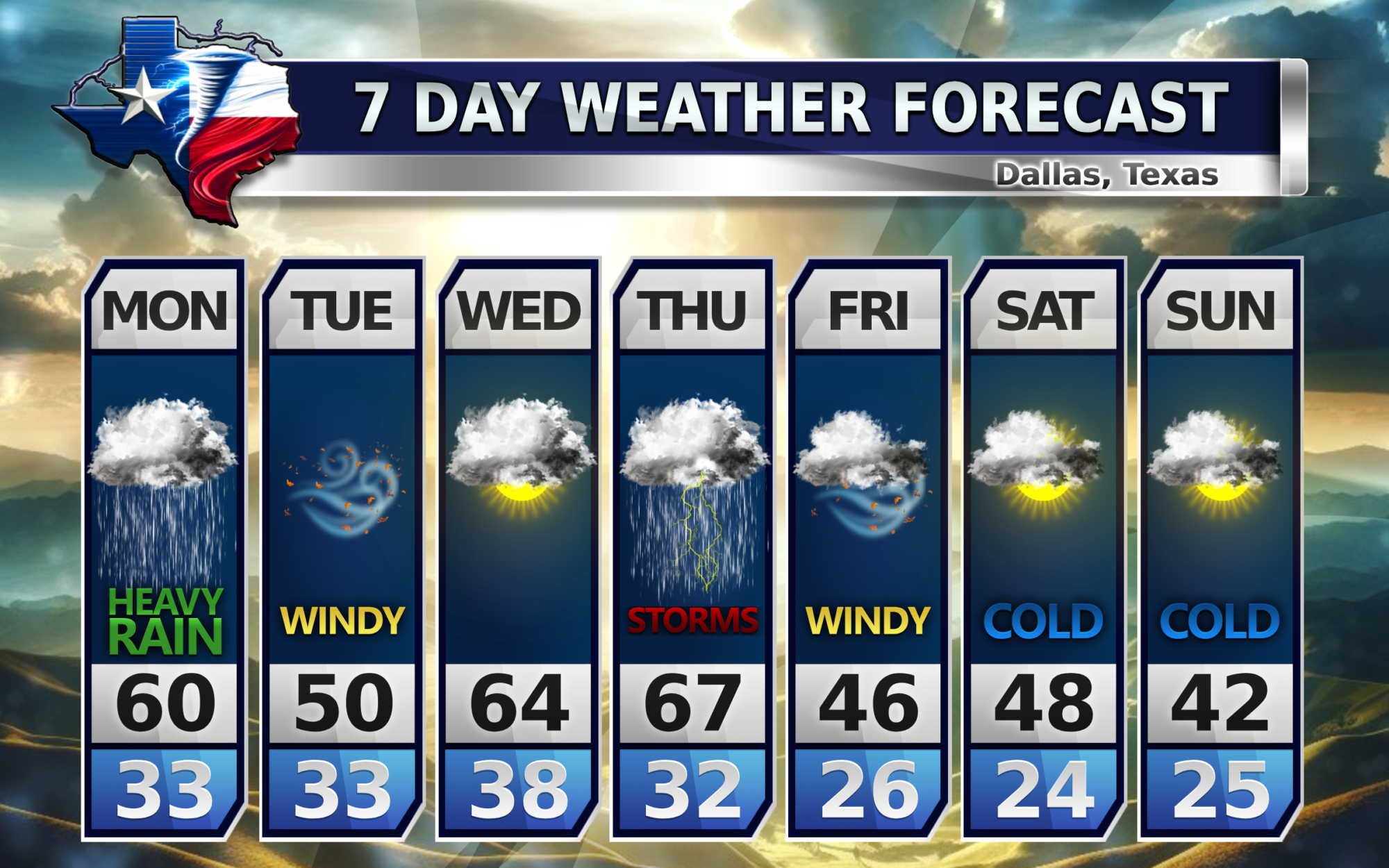
Starting on Tuesday this week, there will be a cold front that will move into north Texas. The high temps for most areas around Dallas will be in the low 80’s degrees and the low temps will be low 50’s degrees. With the FIRST DAY OF FALL being tomorrow, this is actually very normal for Texas to be seeing this cool down.
Say Hello to Fall, Texas!
Why the cold front?
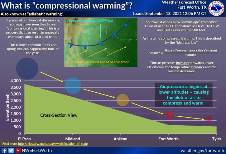
If you didn’t notice that today reached about 98 degrees in most of north Texas, which was hotter than the previous days, this is because of compression warming.
Compression warming is when it gets warmer before it gets colder when a high pressure system moves into the area. A little “science” here, but this is because of the “Ideal Gas Law”. This law states when pressure increases the temperature increases and the volume decreases.
North Texas is experiencing a high pressure system moving in so this is increasing the temperature temporarily until the cold front comes in from the N/NW.

Enjoy the last day of summer everyone!
Become a TWC Member today for FREE!
Support Texas Weather Center
Join the TWC Membership through Patreon to show your support and keep TWC high quality and FREE!
Texas Weather Center Supporters
🥉Kathryn
🥇David Bass
🥉cslewis1234
🥉Robert Fasulo
🥈Carol
Join TWC’s Facebook Group to interact with a community, see the latest updates from TWC, and share your weather photos!


