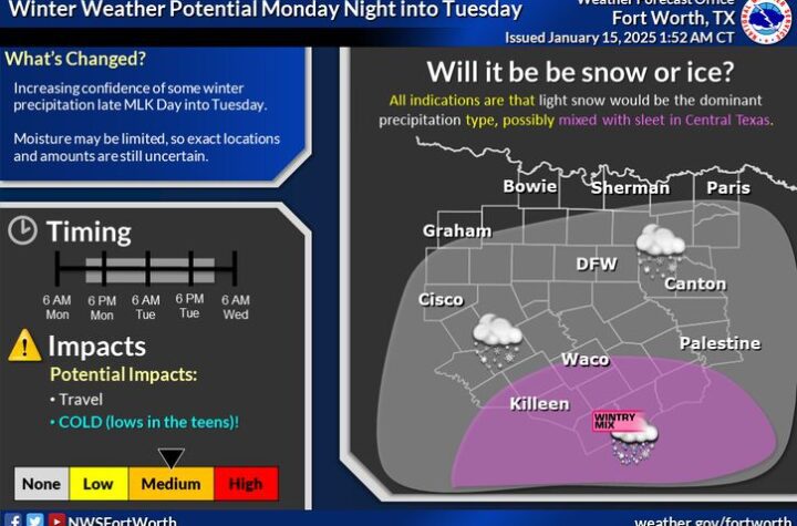
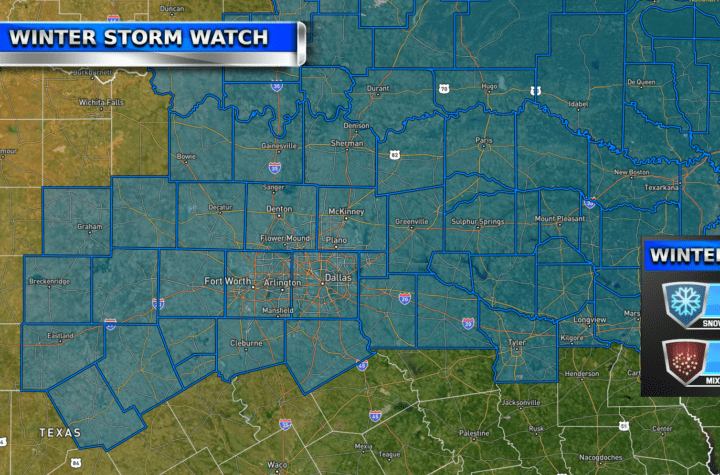
There is an artic blast of cold air that will be coming in overnight on New Year’s Day! Temperatures for much of DFW could be in the very low 20’s! Make sure to cover your plants and pipes and wear warm clothes when you go outside for the cold days.
This cold spike will only last about 2-3 days before temperatures return to the 60’s and 70’s.
Storms on New Year’s Eve
Severe/strong storms are possible for North Texas and areas North/East of it on Friday night leading into New Year’s Day. These storms could have all types of hazardous weather, but currently the biggest risk is large hail. There is somewhat of a tornado risk for these storms, but WC is monitoring it to see if it increases or decreases in the next day. The storms are expected to come at night around 8-11 PM currently. Some storms may come even later than that. Stay weather aware. See updates on the Severe Weather Discussion page.
Weather Photo Contest Last 2 Days!
Everyone now only has 2 days left to submit their photos! If you already have, congratulations! WC thanks you and wishes you best of luck to be the winner. If not, you can submit them HERE or send them to joshua@weathercentertx.com.
Become a TWC Member today for FREE!
Support Texas Weather Center
Join the TWC Membership through Patreon to show your support and keep TWC high quality and FREE!
Texas Weather Center Supporters
🥉Kathryn
🥈David Bass
🥉cslewis1234
🥉Josephine Fowler
🥉Robert Fasulo
Join TWC’s Facebook Group to interact with a community, see the latest updates from TWC, and share your weather photos!


