NWS:
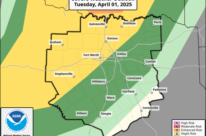
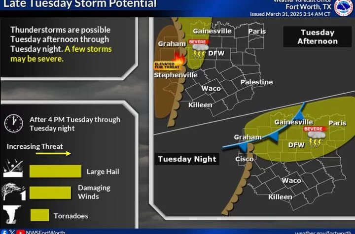
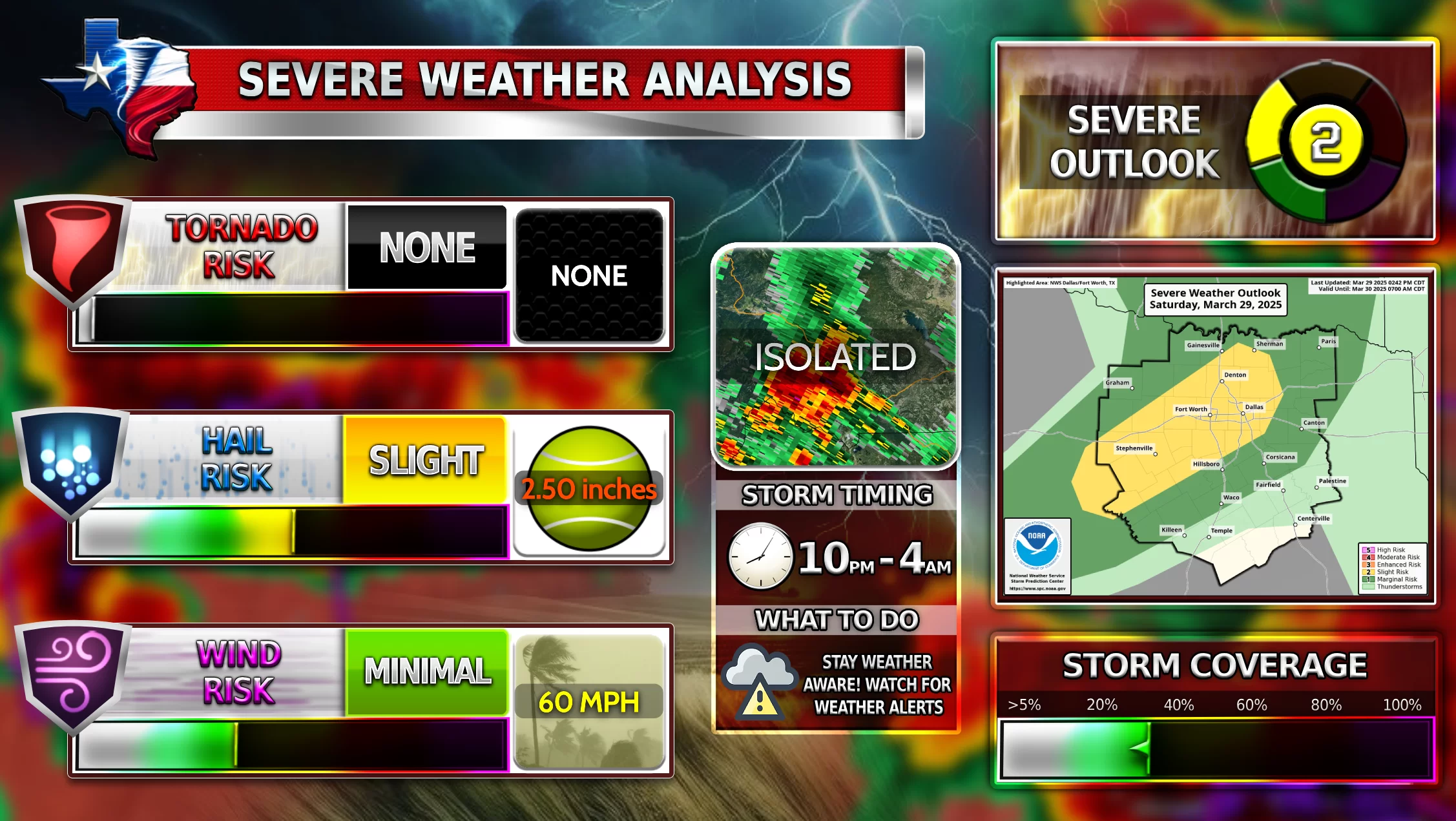
“Widespread showers and thunderstorms are expected on Monday and through Monday night. The chance for severe thunderstorms is highest over parts of Central and East Texas where the risk for tornadoes is highest. Tornadoes, damaging wind gusts, and large hail will all be possible. In addition to the severe weather threat, locally heavy rainfall amounts of up to four inches will be possible over parts of East Texas which may lead to minor flooding in low- lying areas and areas near waterways.”
Severe Weather is possible for DFW tomorrow. Be extremely weather aware, the day will be most likely filled with many weather watches and concerning forecasts which could catch you off guard. NOT ALL will see severe weather, but MOST everyone will see strong storms with tons of rain. Follow WC on its group “Severe Weather Discussion!” Here is your chance to get some cool weather photos for the WC Weather Photo Contest!
Become a TWC Member today for FREE!
Support Texas Weather Center
Join the TWC Membership through Patreon to show your support and keep TWC high quality and FREE!
Texas Weather Center Supporters
🥉Kathryn
🥇David Bass
🥉cslewis1234
🥉Robert Fasulo
🥈Carol
Join TWC’s Facebook Group to interact with a community, see the latest updates from TWC, and share your weather photos!


