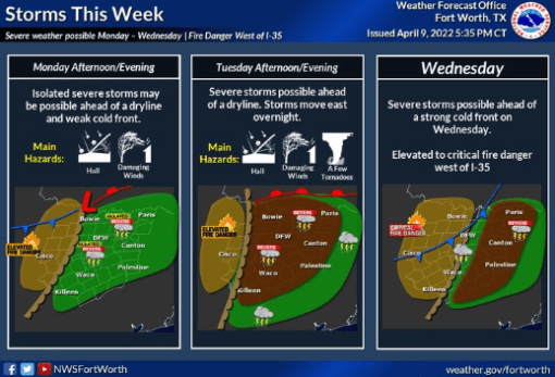
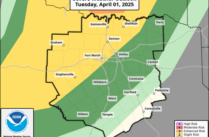
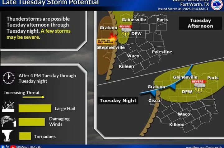
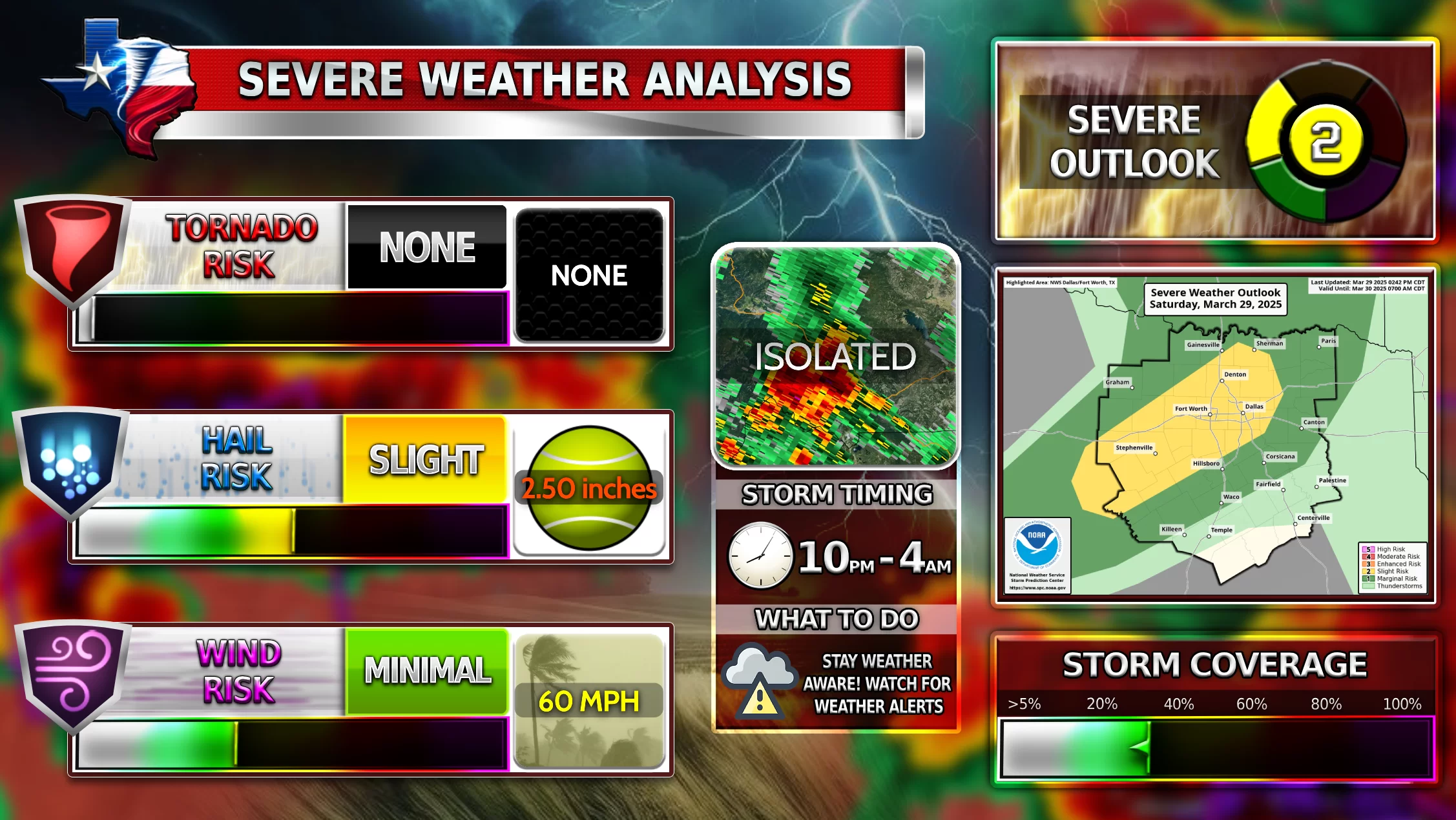
DFW is expected to have a multi-day severe weather event Monday through Wednesday this week. Currently all risks appear possible for DFW (wind, hail, and tornadoes). The most dangerous day for DFW appears to be Tuesday afternoon/evening due to an elevated tornado risk. The current SPC outlook remains to show DFW under the enhanced zone on Tuesday, signifying a potentially dangerous line of storms that could include Tennis ball size hail, damaging wind gusts of 60+ mph winds, and a few tornadoes. Not all of you will see severe weather, but anyone under the zone is to be weather aware and safe on these dangerous weather days!
Follow Texas Weather Center in its WC Severe Weather Discussion Group and follow the latest from SPC on WC’s all inclusive alerts page!
NWS
Monday
“Isolated to scattered severe thunderstorms should occur Monday into Monday night from parts of north-central Texas to the Mid-South and vicinity. Large to very large hail, damaging winds, and a few tornadoes all appear possible.”
Tuesday
“Scattered severe thunderstorms capable of producing very large hail, damaging winds, and tornadoes should occur Tuesday evening and night across a broad portion of the southern/central Plains into the Mississippi Valley. Some of the tornadoes could be strong.”
Become a TWC Member today for FREE!
Support Texas Weather Center
Join the TWC Membership through Patreon to show your support and keep TWC high quality and FREE!
Texas Weather Center Supporters
🥉Kathryn
🥇David Bass
🥉cslewis1234
🥉Robert Fasulo
🥈Carol
Join TWC’s Facebook Group to interact with a community, see the latest updates from TWC, and share your weather photos!


