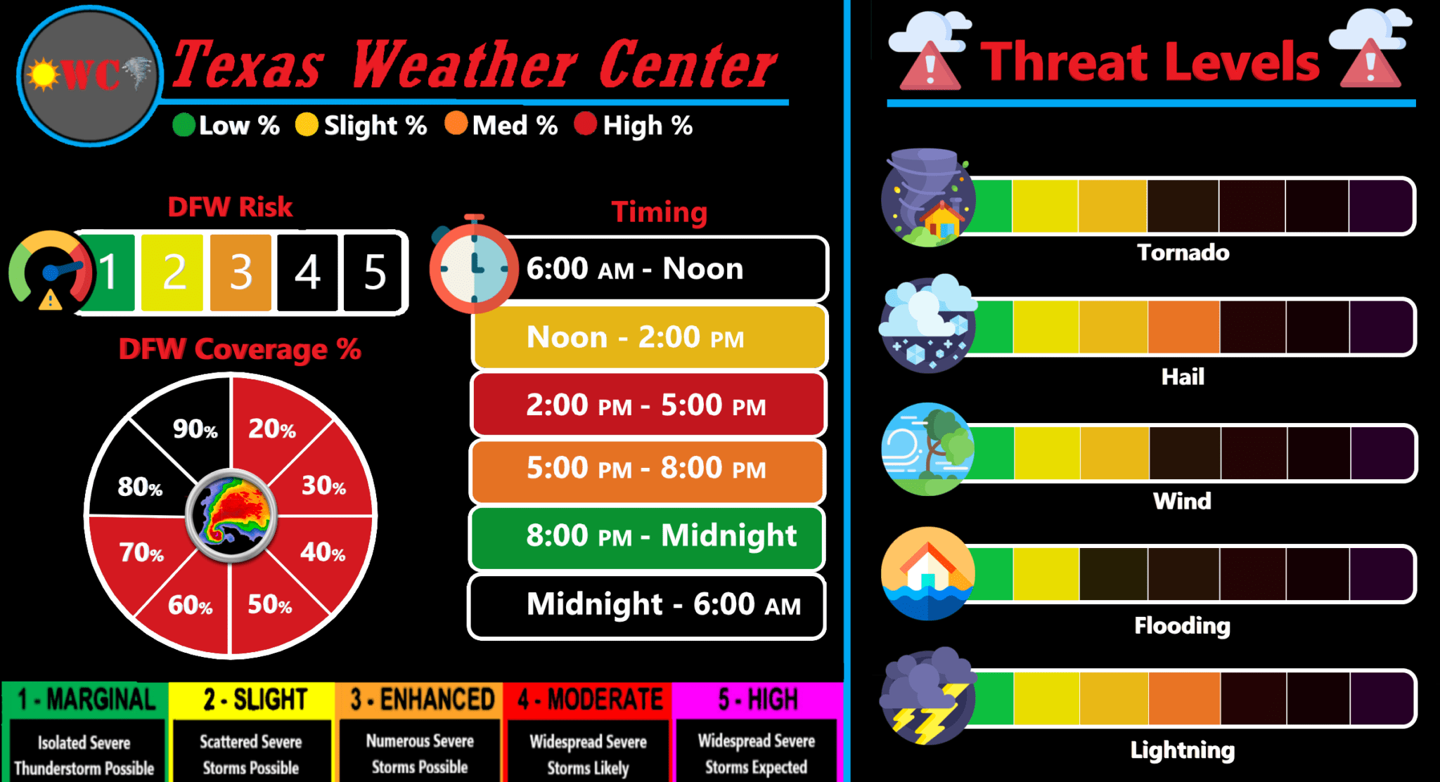
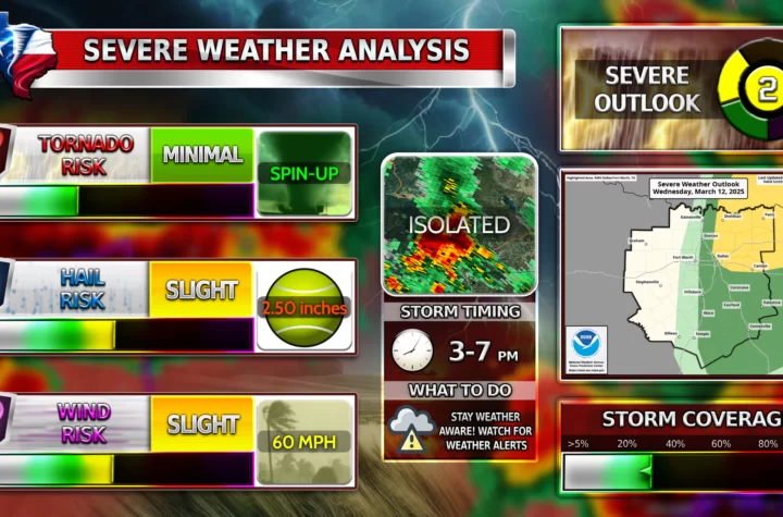
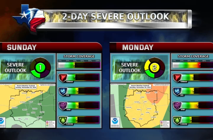
Severe weather is possible on Thursday afternoon for much of DFW. DFW as you can see is under an enhanced risk. All severe weather hazards as of now are possible. There is a growing tornado risk currently which WC is keeping a close watch on, but besides that there are a lot of uncertainties with this storm… especially with the timing. Many models indicate that the storms will roll in around 3-6 PM for DFW, but others show a more later arrival time or even Noon arrival times. Most of this will depend on how the atmosphere reacts that day and if our models hold true.
More information will be coming soon about the storms but as of now, stay weather aware and stay tuned for more updates and changes to WC’s model!
Tornado Threat
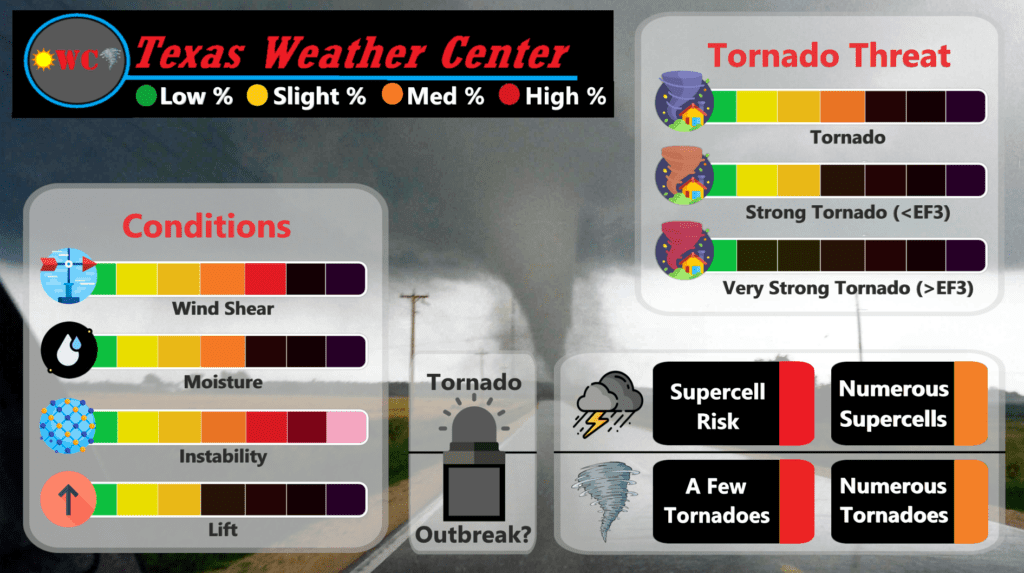
There is an ever-increasing tornado threat but the details of the storm are too vague to make sure predictions yet. Stay tuned as this Tornado Threat model will update!
Become a TWC Member today for FREE!
Support Texas Weather Center
Join the TWC Membership through Patreon to show your support and keep TWC high quality and FREE!
Texas Weather Center Supporters
🥉Kathryn
🥈David Bass
🥉cslewis1234
🥉Josephine Fowler
🥉Robert Fasulo
Join TWC’s Facebook Group to interact with a community, see the latest updates from TWC, and share your weather photos!
