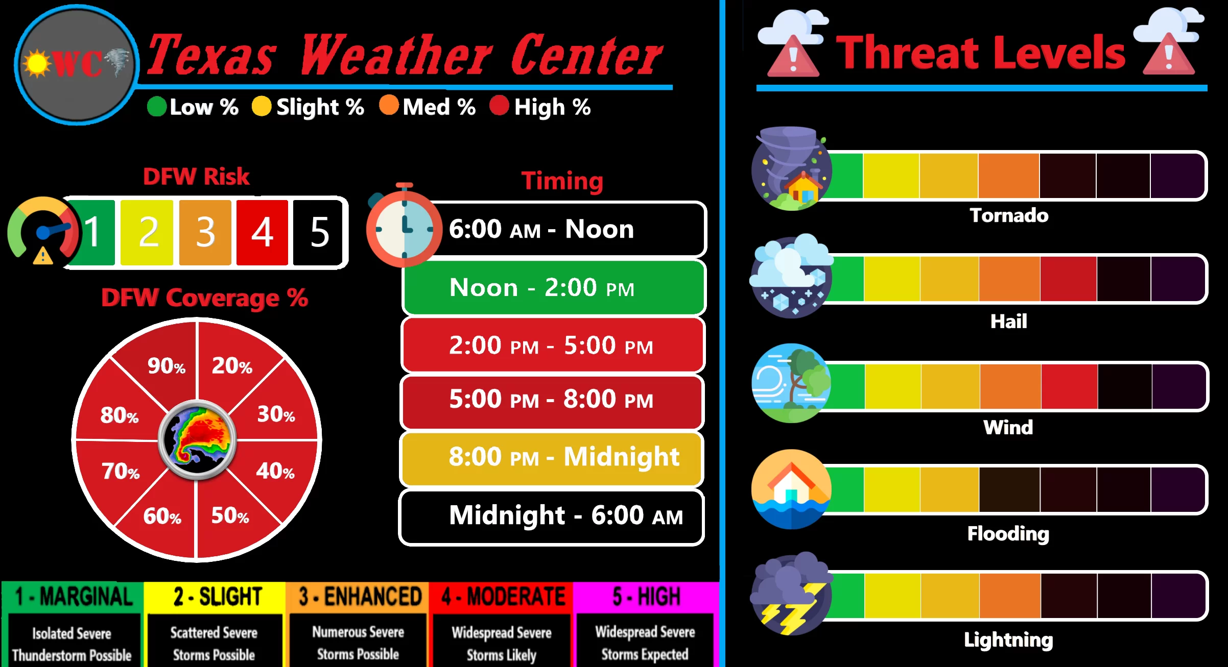
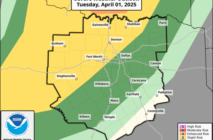
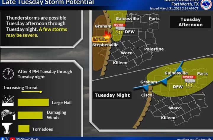
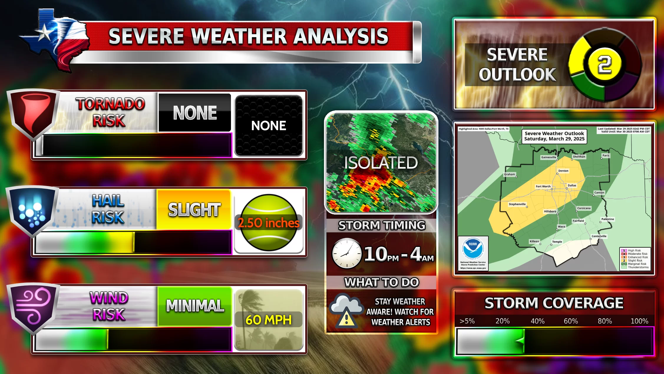
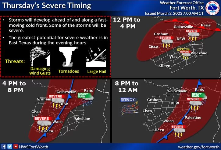
There is a major regional tornado threat forecasted for DFW today. Our latest models show that large to very large hail, damaging winds, and several tornadoes (and a couple strong tornadoes) are possible. The first round of storms are possible around 2-3 PM for DFW. Storms will quickly become severe and as the afternoon progresses and the evening hits, severe storms will become numerous and effect much of the DFW area. Please stay weather aware.
SPC Discussion
“Severe thunderstorms with very large hail to the size of baseballs or larger, significant thunderstorm gusts to 75 mph, and a couple of strong tornadoes are likely from north Texas into the ArkLaTex this afternoon through tonight.“
WC expects the National Weather Service to issue a Tornado Watch and/or a Severe Thunderstorm Watch very soon as we approach noon time today.
Become a TWC Member today for FREE!
Support Texas Weather Center
Join the TWC Membership through Patreon to show your support and keep TWC high quality and FREE!
Texas Weather Center Supporters
🥉Kathryn
🥇David Bass
🥉cslewis1234
🥉Robert Fasulo
🥈Carol
Join TWC’s Facebook Group to interact with a community, see the latest updates from TWC, and share your weather photos!
