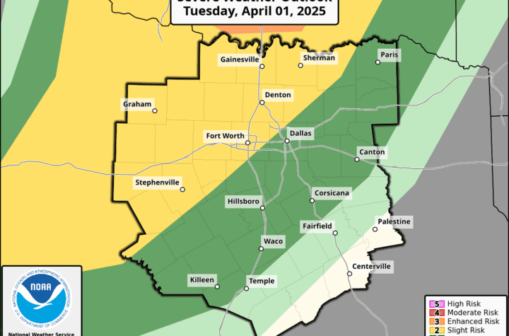
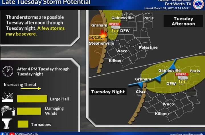
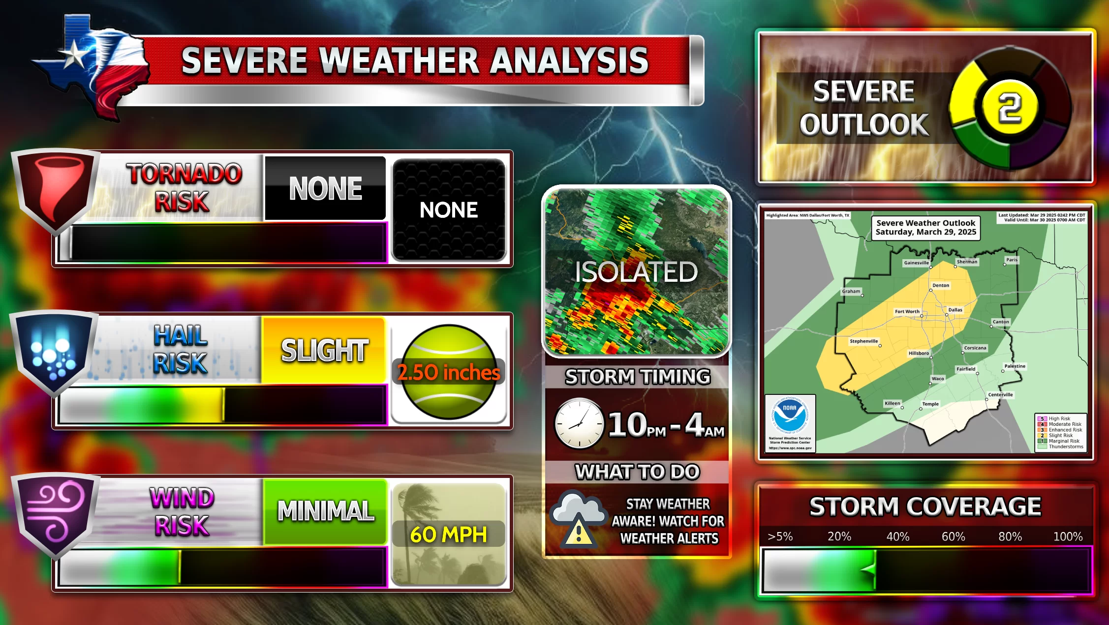
There is a severe weather threat forecasted for DFW on Thursday 3-16-2023. WC’s latest models show that large to very large hail, damaging winds, and a few tornadoes are possible. The main threat remains to be large to very large hail for North Texas up into the ArkLaTex area. The first storms could strike DFW just around Noon and they can quickly become severe. Storms will continue to become more intense as the afternoon progresses and the evening hits.
At this time, there is still some uncertainty about the tornado threat and the storm arrival time. Some models indicate severe storms mostly around 2-8 pm. This is what WC predicts too. Unfortunately, due to the CAPE and other uncertainties, things could change. Stay tuned and please stay weather aware.
Become a TWC Member today for FREE!
Support Texas Weather Center
Join the TWC Membership through Patreon to show your support and keep TWC high quality and FREE!
Texas Weather Center Supporters
🥉Kathryn
🥇David Bass
🥉cslewis1234
🥉Robert Fasulo
🥈Carol
Join TWC’s Facebook Group to interact with a community, see the latest updates from TWC, and share your weather photos!


