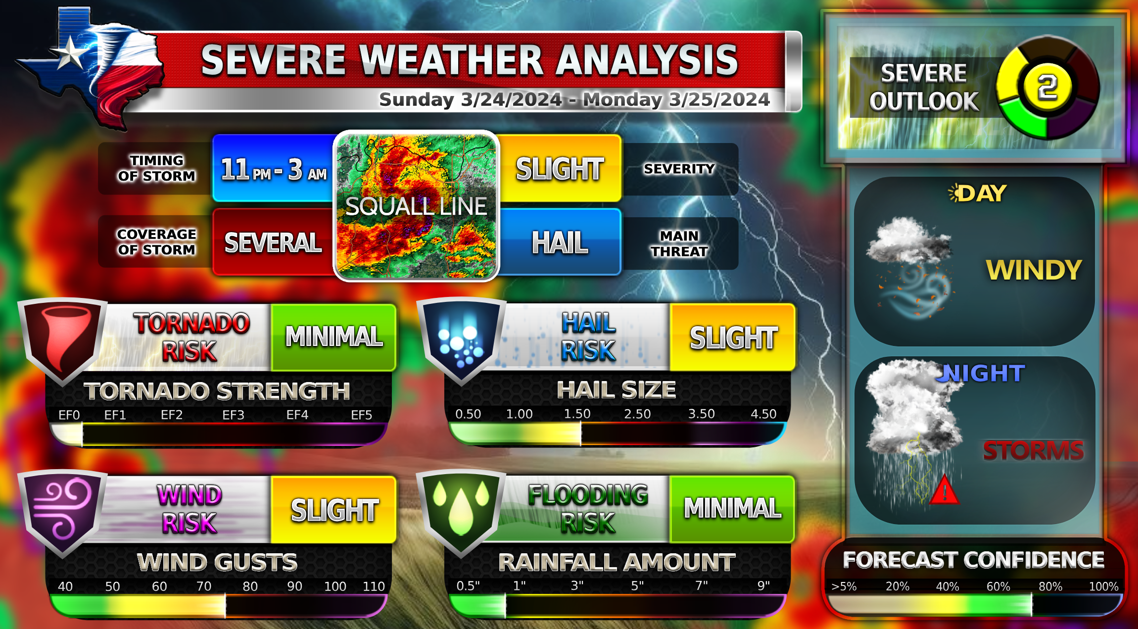
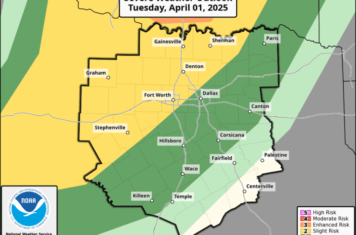
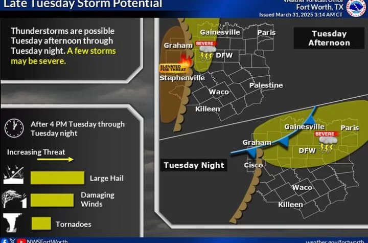
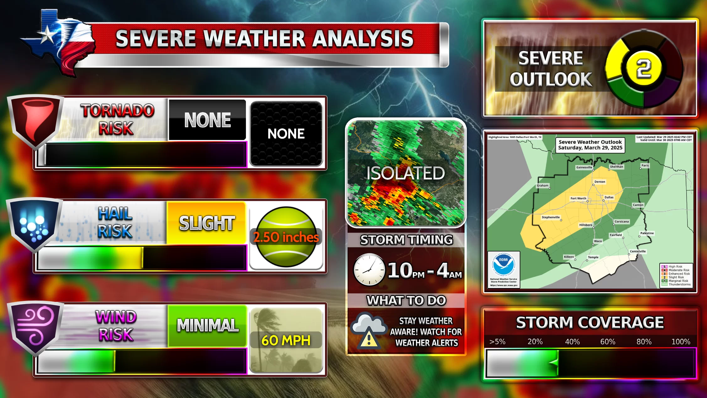
A line of strong to severe thunderstorms is possible tonight for DFW around 11 PM tonight into 3 AM Monday. A squall line system is expected to form in the West and move eastward into DFW. These storms will be accompanied by a dry line which is the fuel for this storm system that will sweep through the central/southern plains tonight and then move Easterward the next 2 days. Not every storm will be severe, but severe weather is a danger for tonight into overnight hours.
The question in play now is, “Will the squall line stay together or will it break apart into scattered weaker storms”?
It will also be extremely windy today during the afternoon with 25-30 MPH and up to 50 MPH wind gusts in some areas of DFW. Make sure to secure any outdoor lawn furniture or anything that can be damaged by these strong winds.
Stay weather aware and follow WC on facebook throughout the night!
2️⃣Slight Risk
![]() Low chance of tornadoes
Low chance of tornadoes![]() Large hail up to 1.5 Inches possible
Large hail up to 1.5 Inches possible![]() Damaging winds up to 60 MPH
Damaging winds up to 60 MPH
Become a TWC Member today for FREE!
Support Texas Weather Center
Join the TWC Membership through Patreon to show your support and keep TWC high quality and FREE!
Texas Weather Center Supporters
🥉Kathryn
🥇David Bass
🥉cslewis1234
🥉Robert Fasulo
🥈Carol
Join TWC’s Facebook Group to interact with a community, see the latest updates from TWC, and share your weather photos!
