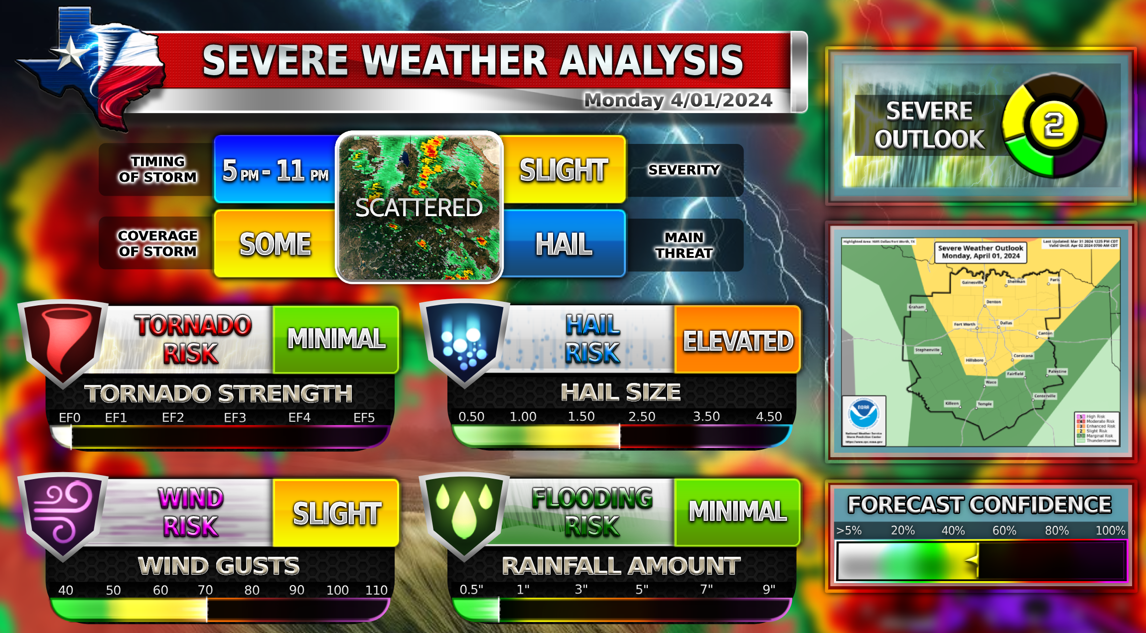
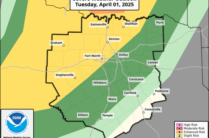
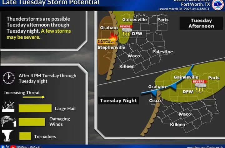
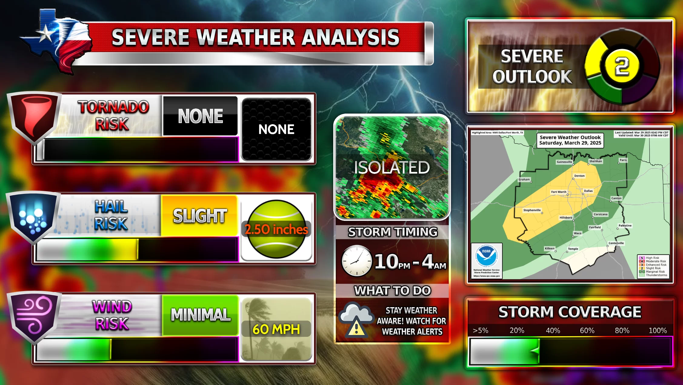
Severe weather is possible on Monday afternoon into the evening. A dryline system will bring along severe storms to many areas including the North Texas region. There will be a strong cap over the metroplex much of the day which brings uncertainty to the storm intensity for tomorrow. Some parts of the metroplex could experience suppressed thunderstorm development due to this cap, so it is unlikely that everyone will receive rain. Those who do receive storms could experience large hail and damaging winds. The main storm timing is anywhere between 5 PM-10 PM. Stay weather aware.
2️⃣Slight Risk
![]() Low chance of tornadoes
Low chance of tornadoes![]() Large hail up to 1.5 Inches possible
Large hail up to 1.5 Inches possible![]() Damaging winds up to 60 MPH
Damaging winds up to 60 MPH
Become a TWC Member today for FREE!
Support Texas Weather Center
Join the TWC Membership through Patreon to show your support and keep TWC high quality and FREE!
Texas Weather Center Supporters
🥉Kathryn
🥇David Bass
🥉cslewis1234
🥉Robert Fasulo
🥈Carol
Join TWC’s Facebook Group to interact with a community, see the latest updates from TWC, and share your weather photos!
