DFW is expected to see a multi-day severe weather event from Tuesday through Thursday. Read below for more details.
Tuesday
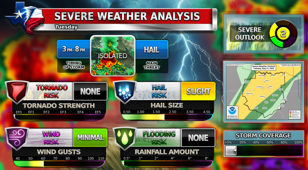
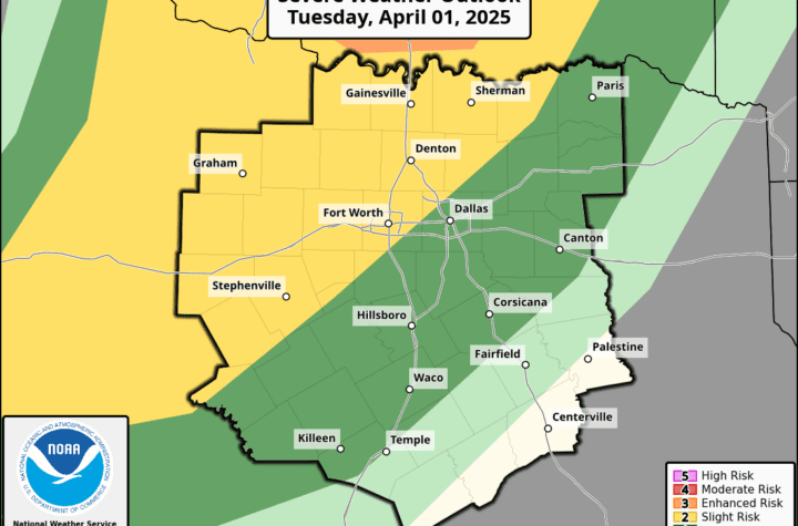
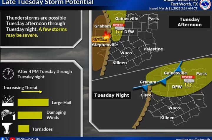
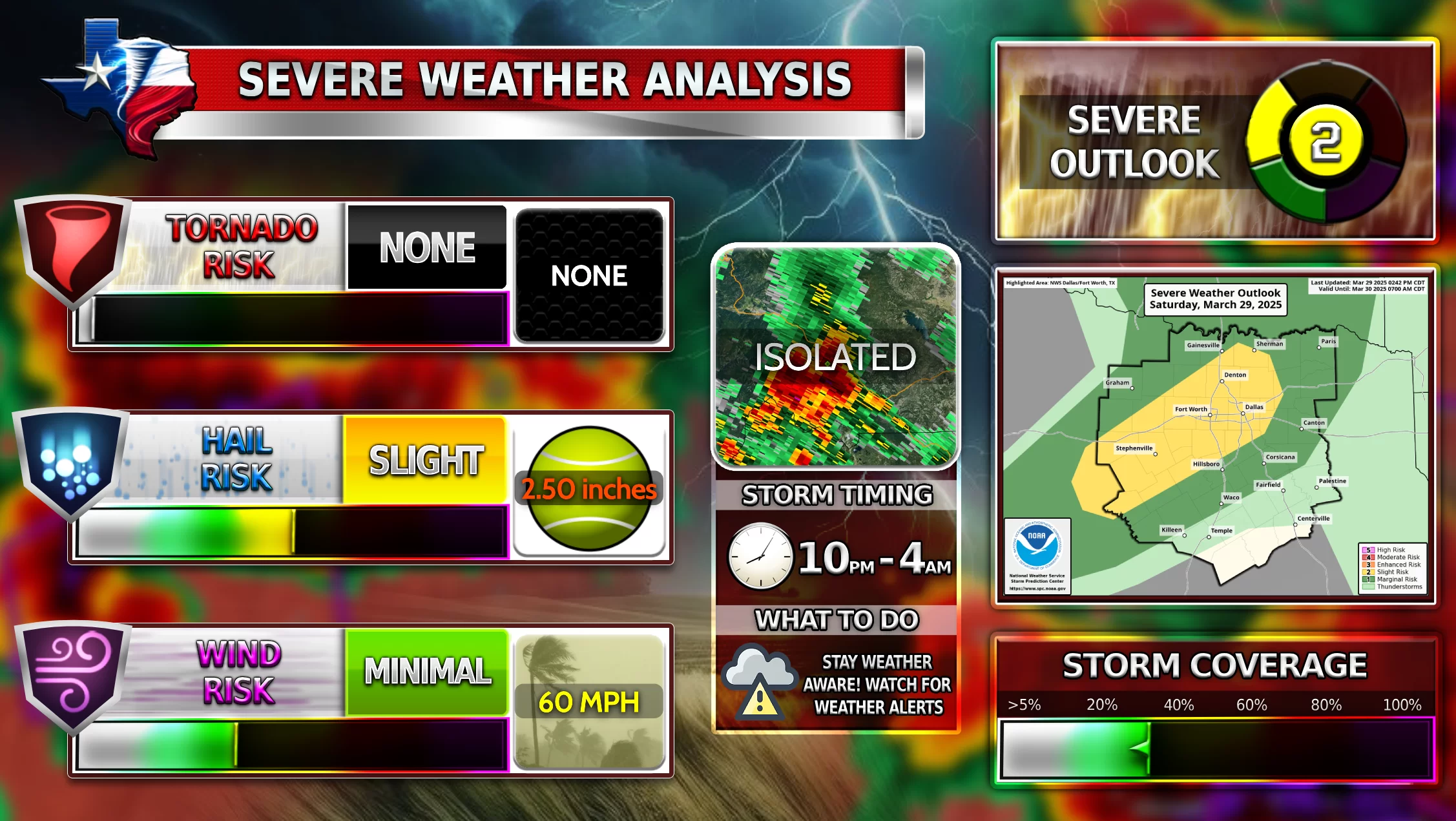
An isolated strong to severe thunderstorm will be possible late Tuesday afternoon into Tuesday evening for DFW. The probability of any storm developing is fairly low because of a strong cap in place over North Texas. If a storm develops, it will be capable of producing large hail and damaging winds. Tornado threat is zero. The main window for thunderstorm development will be between 3-8pm.
Wednesday
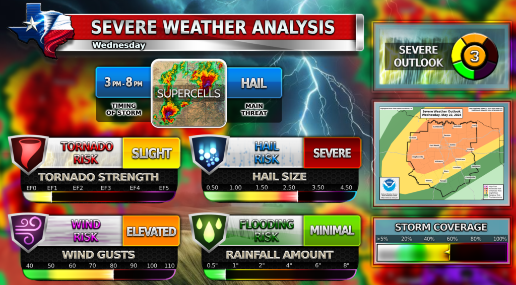
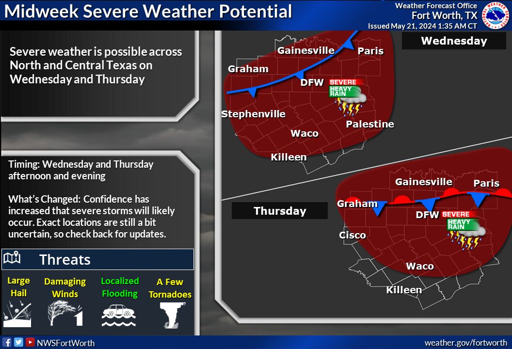
Severe weather will be possible during the afternoon and evening hours on Wednesday. Very large hail (2+ inches), damaging winds (up to 80MPH), and even a few tornadoes may occur. Locally heavy rain may also lead to some minor flooding in some areas. Not everyone will see storms but around 50-60% coverage is expected for the DFW metroplex! Target time is 3-8 PM. Stay weather aware and tuned in for updates on Facebook.
Thursday
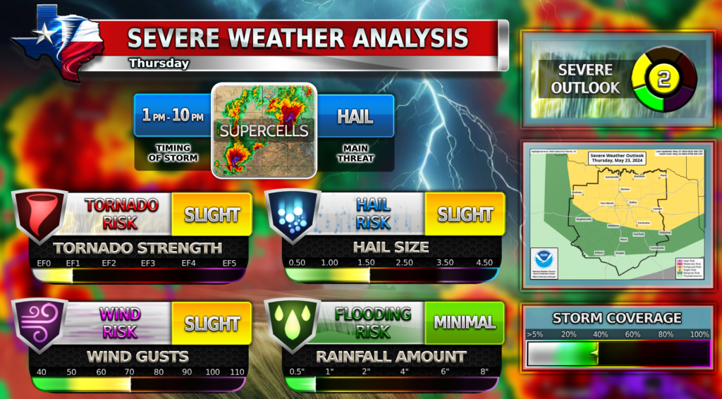
There is also a severe weather threat on Thursday for DFW. DFW seems to be on the lower edge of the threat, but what we know right now is all modes of severe weather will be possible. Storm coverage is lower on this day though. Stay tuned for updates through Facebook on this storm system as well. Target timeframe is likely to change a little bit, and the Severe Outlook is likely to increase to a Level 3 Enhanced Risk. Stay weather aware!
WC Updates
Texas Weather Center will be a lot less active starting Wednesday of this week and lasting until the first week of July due to vacation time. WC will still try to be active on Facebook as much as possible, but there will not be any blogs. WC apologizes for the inconvenience during the end of this severe weather season! Because of this break, the deadline for the Weather Center Photo Contest will be extended until July 1st!
Thank you everyone!
Become a TWC Member today for FREE!
Support Texas Weather Center
Join the TWC Membership through Patreon to show your support and keep TWC high quality and FREE!
Texas Weather Center Supporters
🥉Kathryn
🥇David Bass
🥉cslewis1234
🥉Robert Fasulo
🥈Carol
Join TWC’s Facebook Group to interact with a community, see the latest updates from TWC, and share your weather photos!
