An Excessive Heat Warning is in effect until Thursday evening for western portions of North and Central Texas. A Heat Advisory is also in effect for most other areas. Afternoon highs up to 108 degrees and heat index values up to 112 degrees will significantly increase the potential for heat related illnesses through the early evening. Ensure you’re practicing heat safety by drinking plenty of water, taking frequent breaks indoors in the A/C, and wearing light-colored, lightweight clothing!
NWS FTW
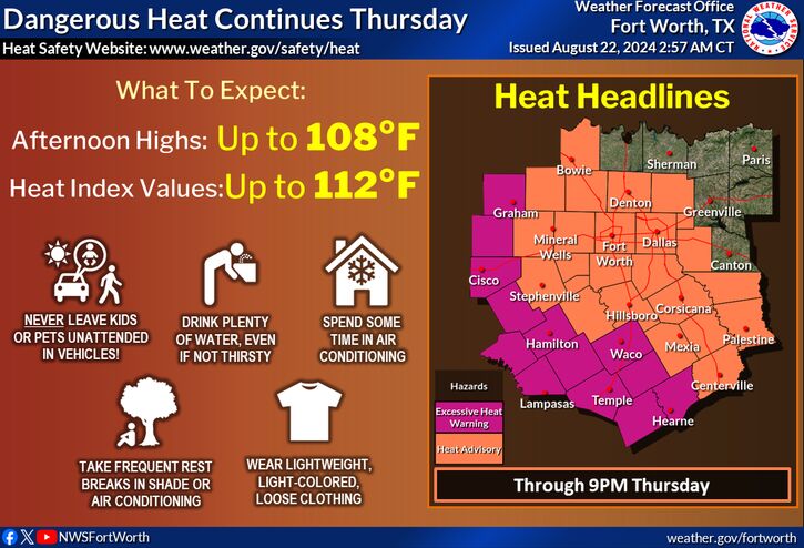
Next week, temperatures will drop for much of North Texas to the low 90’s instead of the scorching 100 degrees. Relief is coming soon!
Hurricane Activity
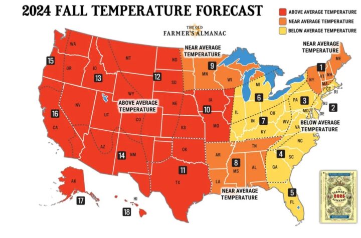
Tropical activity is not expected in the Atlantic for the next 7 days according to the NHC. This is good news. In fact, according to the Farmers Almanac, hurricane activity doesn’t spike again until around the 28th-31st of August.

Farmers Almanac Forecast
August
- 20th – 23rd Hot and dry.
- 24th – 27th Increasing thunderstorm activity.
- 28th – 31st Hurricane threat along Gulf Coast. Showers, thunderstorms, followed by cooler air.
September
- 1st – 3rd Showers, thunderstorms, some heavy.
- 4th – 7th Showers briefly subside; still warm, humid.
- 8th – 11th Showery slopes of Rockies, Southern Plains.
- 12th – 15th Showers, thunderstorms TX, OK, AR, northern LA, then cooler. Clear, colder NM.
- 16th – 19th Clear to partly cloudy, warm for LA. Crisp, chilly Southern Rockies, Southern Plains. Showers AR, shifting east.
TWC Update
Share TWC with others!
Reach 250 Active Members!
Become a TWC Member today for FREE!
Support Texas Weather Center
Join the TWC Membership through Patreon to show your support and keep TWC high quality and FREE!
Texas Weather Center Supporters
🥉Kathryn
🥈David Bass
🥉cslewis1234
🥉Josephine Fowler
🥉Robert Fasulo
Join TWC’s Facebook Group to interact with a community, see the latest updates from TWC, and share your weather photos!