Hurricane Helene, currently a Category 3 storm, is rapidly approaching Florida’s Big Bend region with sustained winds of 120 mph. Landfall is expected tonight, potentially reaching Category 4 strength as it moves toward the coast at 21 mph. The storm’s vast size means tropical storm-force winds extend over 300 miles from its center, affecting a wide area including much of Florida, Georgia, and the Carolinas.
The biggest threats include life-threatening storm surges of up to 20 feet in the Big Bend area and 8 feet in Tampa Bay. Widespread flash flooding and power outages are expected across the Southeast, with some areas potentially losing power for weeks. After landfall, Helene will push into Georgia, where it is forecast to stall, causing further flooding and severe winds that may impact cities like Atlanta.
Preparations should be made immediately if you’re in the affected areas, especially in mandatory evacuation zones. Stay informed with updates from local officials and emergency services.
NHC KEY MESSAGES:
- A catastrophic and deadly storm surge is likely along portions of the Florida Big Bend coast, where inundation could reach as high as 20 feet above ground level, along with destructive waves. There
is also a danger of life-threatening storm surge along the remainder of the west coast of the Florida Peninsula. Residents in those areas should follow advice given by local officials and evacuate if told to do so. - Potentially catastrophic hurricane-force winds are expected within the eyewall of Helene when it makes landfall in the Florida Big Bend region this evening. Preparations to protect life and property should be rushed to completion. Damaging and life-threatening hurricane-force winds, especially in gusts, will penetrate well inland over portions of northern Florida and southern Georgia later today and tonight where Hurricane Warnings are in effect. Strong wind gusts are also likely farther north across portions of northern Georgia and the Carolinas, particularly over the higher terrain of the southern Appalachians.
- Catastrophic and life-threatening flash and urban flooding, including numerous significant landslides, is expected across portions of the southern Appalachians through Friday. Considerable to locally catastrophic flash and urban flooding is likely for northwestern and northern Florida and the Southeast through Friday. Widespread significant river flooding and isolated major river flooding are likely.

| Simulated Weather Models

| Simulated Intensity Guidance

| Satellite Imagery
See the latest Satellite Imagery of the southern plains, the US, and the whole disk! See various types of imagery like infrared, water vapor, visible, and more!
| 7-Day Tropical Weather Outlook

| Rainfall Totals

| Peak Storm Surge

| Flash Flood Outlook

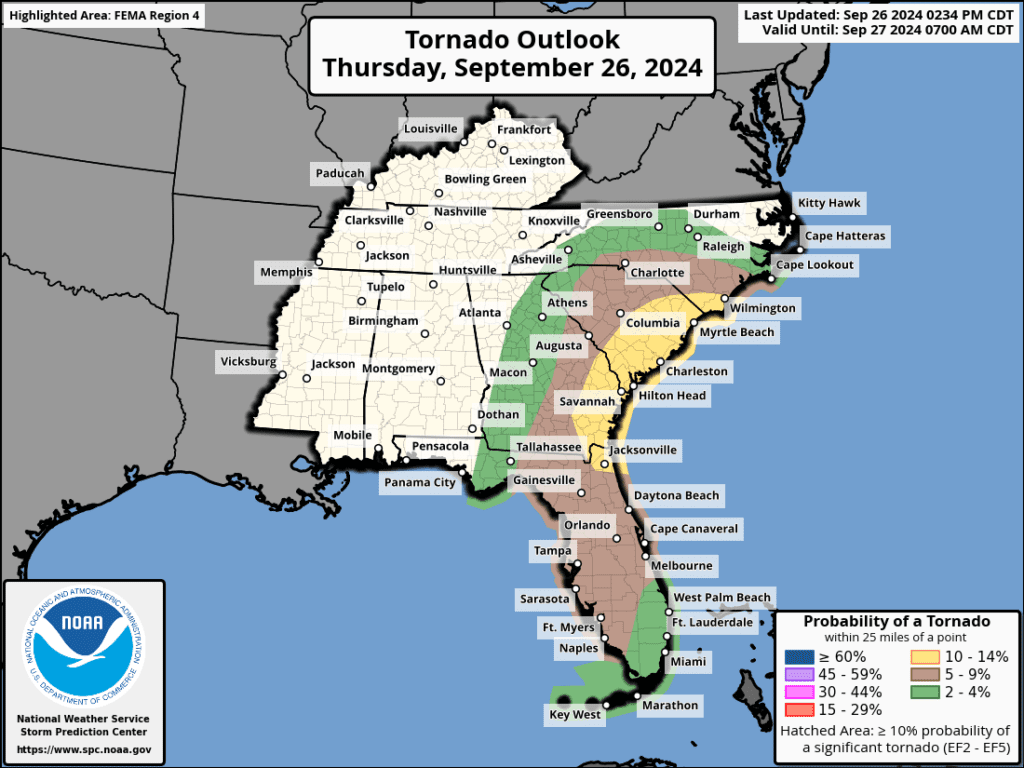
| Tornado Outlook
| TWC Info Maps

| TS Force Wind Probabilities

| Hurricane Wind Probabilities

| Tracking Map

| Warnings / Surface Winds

| Latest IR Satellite Imagery

Become a TWC Member today for FREE!
Support Texas Weather Center
Join the TWC Membership through Patreon to show your support and keep TWC high quality and FREE!
Texas Weather Center Supporters
🥉Kathryn
🥇David Bass
🥉cslewis1234
🥉Robert Fasulo
🥈Carol
Join TWC’s Facebook Group to interact with a community, see the latest updates from TWC, and share your weather photos!