Storms are possible today between 3-8 PM for DFW. Some storms could contain gusty winds and some small hail, but…
Urban Heat Islands (Patreon)
The rise of global temperatures is becoming more and more of a conversational topic through politics and common conversation. TWC…
New TWC Merch / Temperature Outlook
Here comes the cooler weather! Below-average temperatures are expected for the next 6-10 days which means some nice 80-degree weather!…
Recap on Hurricane Beryl
Hurricane Beryl was quite the storm. Below are a few preliminary stats about Beryl. #beryl had a lifetime maximum sustained wind…
Hurricane Beryl Landfall Coverage
What a night. Hurricane Beryl made landfall near Matagorda, TX (85 miles southeast of Houston, TX) as a CAT 1…
Hurricane Beryl Sunday Update
#beryl is now less than 24 hours from landfall in Texas! Beryl is currently a Tropical Storm with winds of…
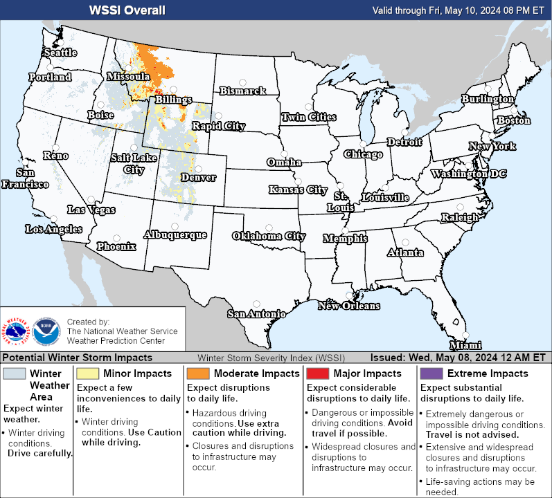
Winter Weather Center is a compact yet informative page filled with a few different types of useful weather models. If you can’t find what you are looking for, make sure to check out WC’s 4 other weather model resource pages under Weather Data! Below is data like Freezing Rain Outlooks, Snowfall Outlooks, Composite Outlooks, and Overall Impacts.
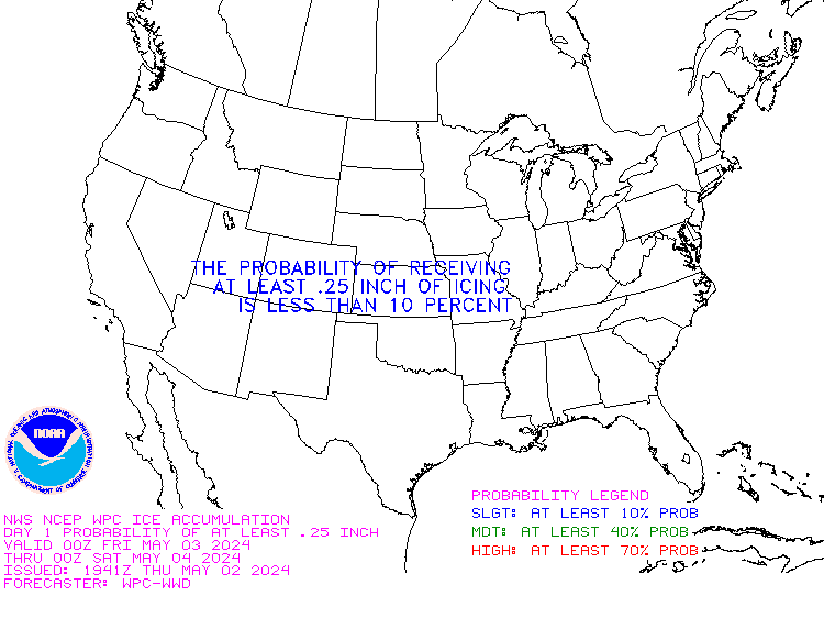
Freezing Rain Outlooks
In each day, the map is color coded for the chance of a specified amount of precipitation. Use the legend on the left to determine the expected amount of freezing rain to accumulate. This chart can give you a good idea for the expected weather over a desired area in the following 3 days.
Day 1
Day 2

Day 3

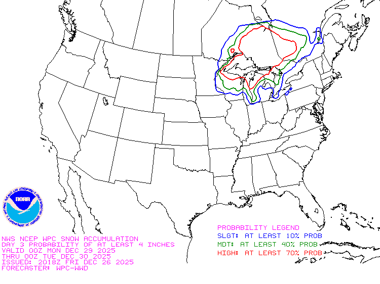
Snowfall Outlooks
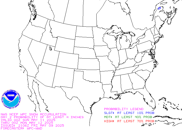
In each day, the map is color coded for the chance of a specified amount of precipitation. Use the legend on the left to determine the expected amount of snowfall to accumulate. This chart can give you a good idea for the expected weather over a desired area in the following 3 days.
Day 1

Day 2
Day 3
Outlook Maps

6-10 Day Temperature

8-14 Day Temperature


A Short Range Temperature Outlook is a forecast that provides a relatively near-term prediction of temperature conditions over a brief time frame, typically spanning a few days to a week. These outlooks are highly valuable for daily planning and immediate decision-making in various sectors, including agriculture, energy, and outdoor activities.
Short-range temperature outlooks offer information about expected temperature trends, helping individuals and businesses make real-time decisions. For instance, farmers can determine when to protect crops from frost, and energy providers can anticipate energy demand for heating or cooling. Additionally, these outlooks are crucial for public health planning, allowing people to prepare for extreme temperatures that could affect their safety and well-being.
Short-range temperature forecasts are based on the latest meteorological data and models, which provide reasonably accurate predictions for the near future. They are an essential tool for making informed, short-term decisions, optimizing daily activities, and ensuring the safety and comfort of communities.

Day 1

Day 2

Day 3

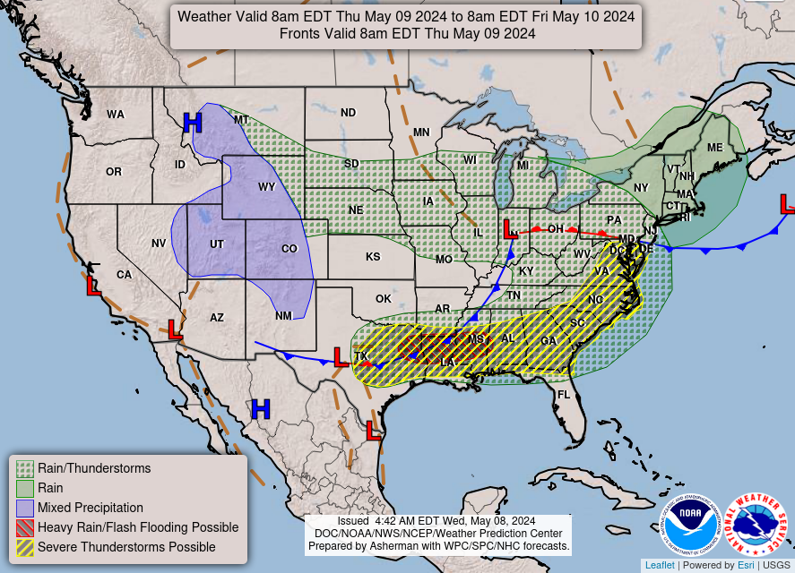
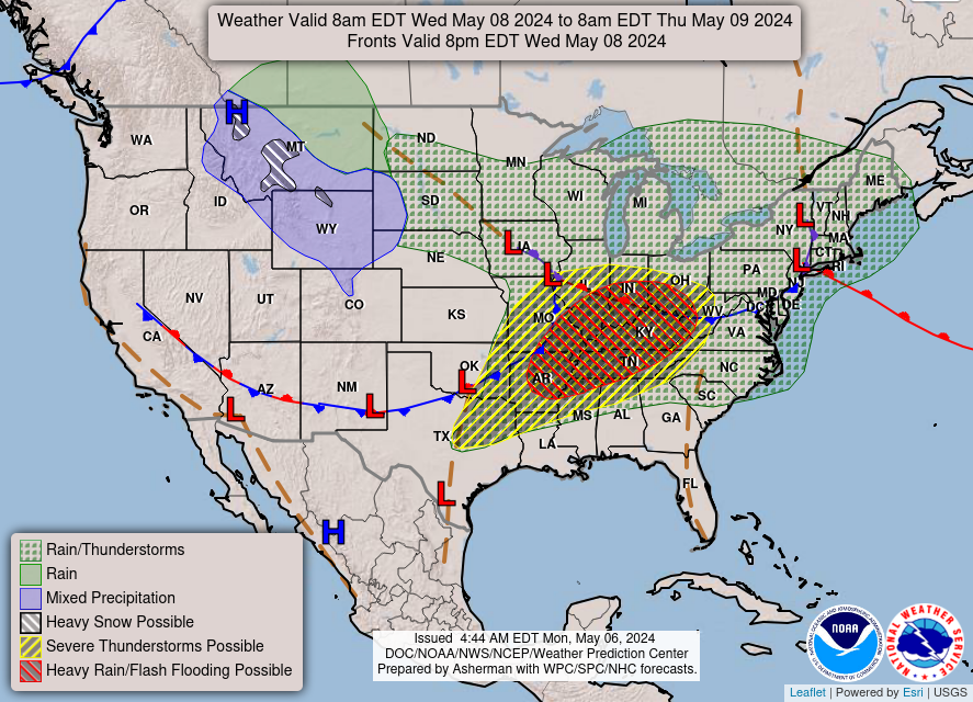
A National Forecast Chart is a comprehensive weather map that provides an overview of expected weather conditions across an entire country or region. It typically includes information on temperature, precipitation, wind direction and speed, and atmospheric pressure. These charts are widely used for weather forecasting, allowing meteorologists to convey a snapshot of the upcoming weather patterns to the public and various sectors like aviation, agriculture, and disaster management. National Forecast Charts are essential tools for understanding and planning for weather-related events, making them valuable for decision-making, especially when it comes to public safety, transportation, and outdoor activities. These charts are updated regularly to reflect changing weather conditions and are accessible to the general public through the Weather Prediction Center.
Winter Weather Analysis
View on the computer to see this section!

Precipitation Type

Snow Outlook Days 1-4
Precipitation Type

A Precipitation Type Map, provided by the National Weather Service (NWS), is a valuable resource that visually conveys the type of precipitation falling over a specific geographic area. It’s an essential tool for understanding the various forms of precipitation, such as rain, snow, sleet, freezing rain, and hail, which can have vastly different impacts on weather conditions and daily life.
0 – Rain
1 – Freezing Drizzle/Light Freezing Rain
2 – Freezing Rain
3 – Mix of Freezing Rain and Sleet
4 – Light Sleet
5 – Sleet
6 – Mix of Sleet and Snow
7 – Light Snow
8 – Snow
9 – Heavy Snow
10- UK: Unknown
Snow Outlook Day 1

Snow Outlook Day 2

Snow Outlook Day 3

Snow Outlook Day 4

Overall Impacts
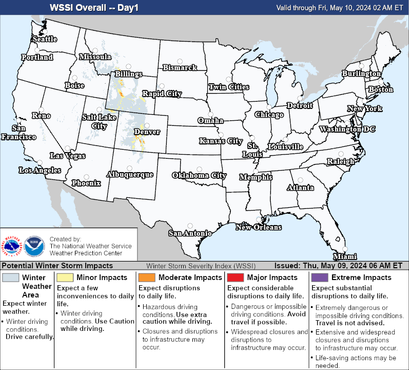
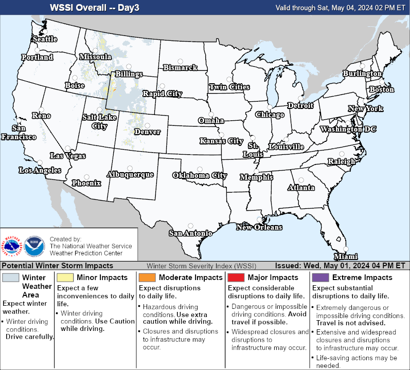
This chart is a useful chart giving the probable impact levels for specific area. Follow the color-coded legend at the bottom to determine what the overall risk is. This chart uses information like snow amount, snow load, ice accumulation, freezing temperatures, blowing snow, and blizzard condition chances to calculate the overall risk.
Day 1
Day 3
Day 2

Day 1-3 Total
