- All
- Extreme Heat
- Future Severe Weather
- Game Day
- Holiday Blogs
- Hurricanes
- Past Severe Weather
- Reference
- Space Weather
- TWC Updates
- Videos
- Weather Mysteries
- Weather Updates
- Winter Weather
- Weekly Weather Updates
- TWC Shop
- Patreon
5 Days of Severe Weather Ahead
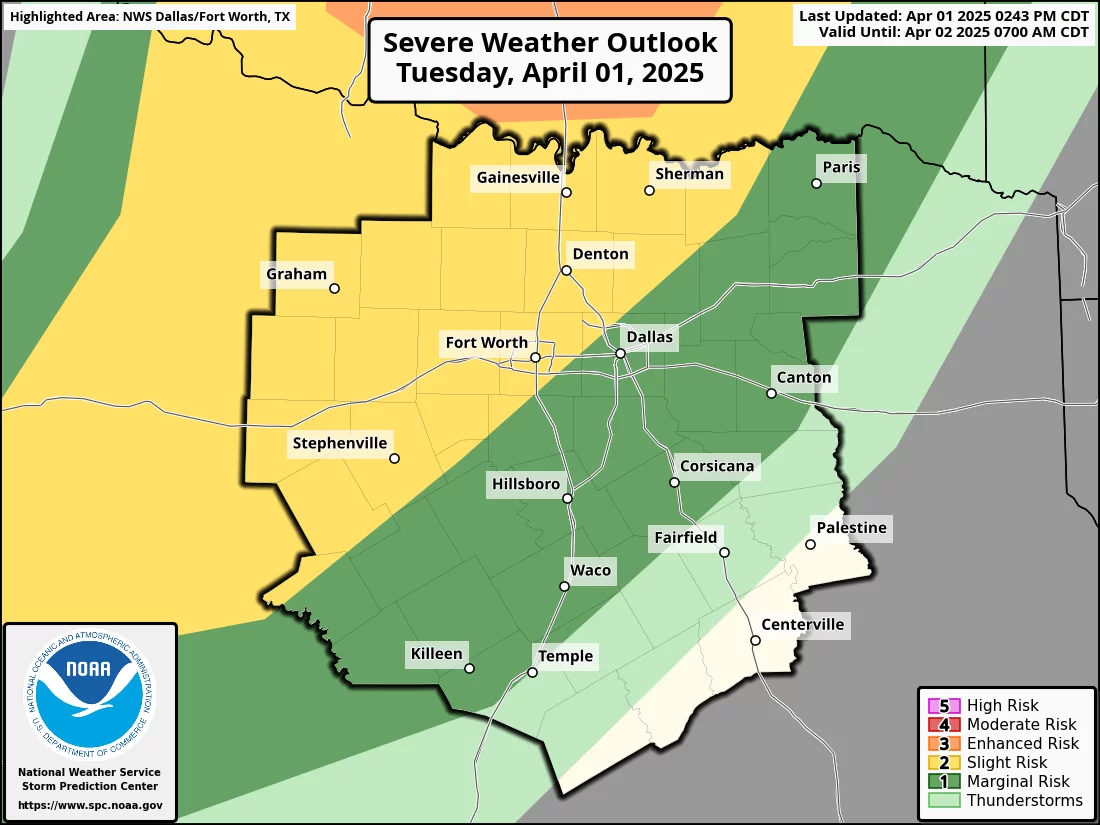
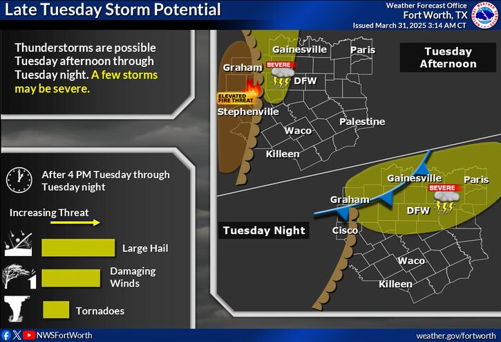
Every day for the next 5 days, North Texas has a risk of severe weather! Be sure to follow TWC closely and follow Texas Weather Center’s Facebook page to stay updated with the latest! TUESDAY Isolated severe storms may develop ahead of…
Extremely Active Week Ahead
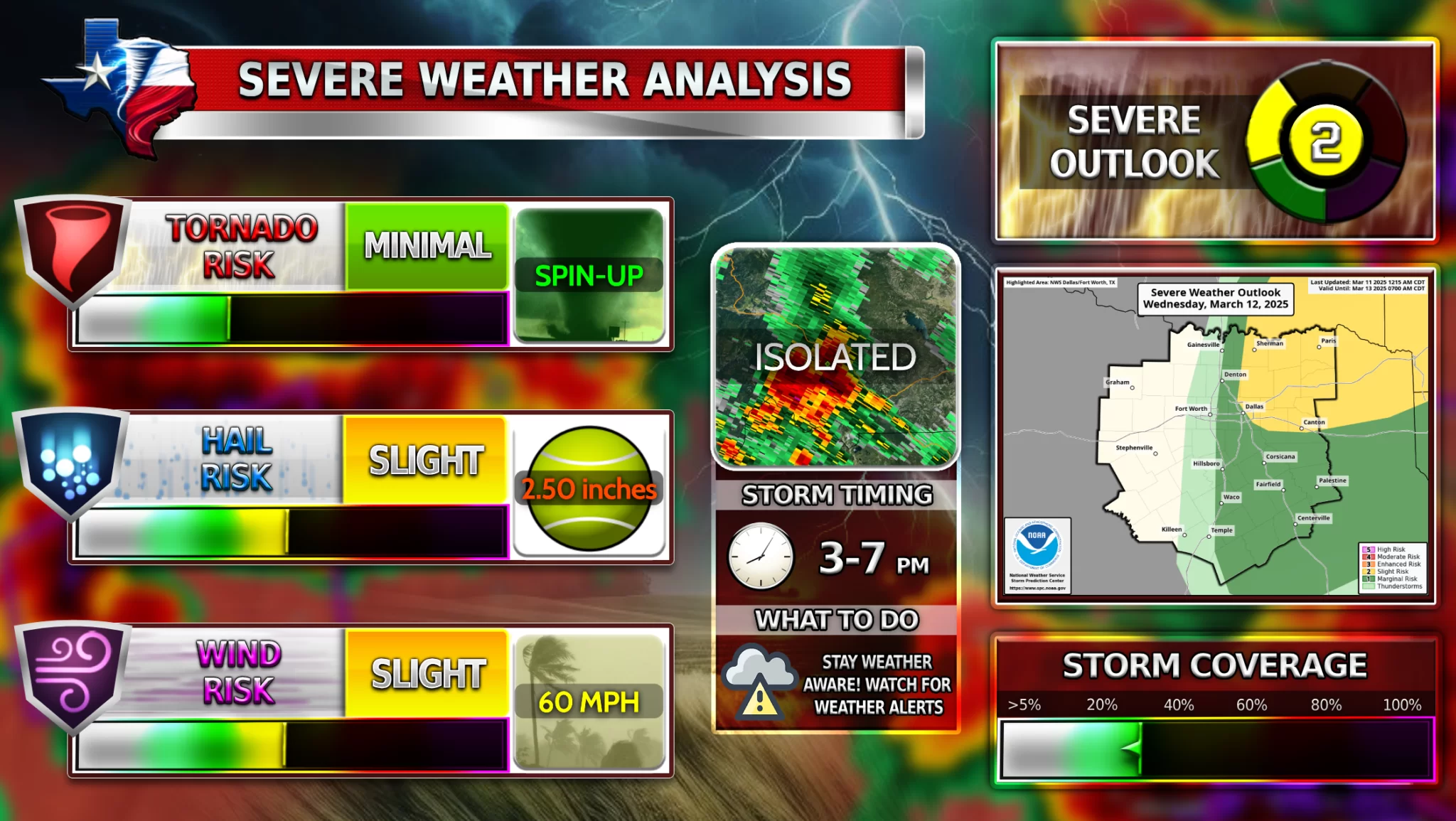
North Texas is looking at daily chances for severe weather almost every day this week! Let’s look ahead TUESDAY Isolated supercells may develop in West Texas on Tuesday afternoon along a dry line with all weather hazards possible. Another more likely round…
Large Hail Risk Tonight for DFW
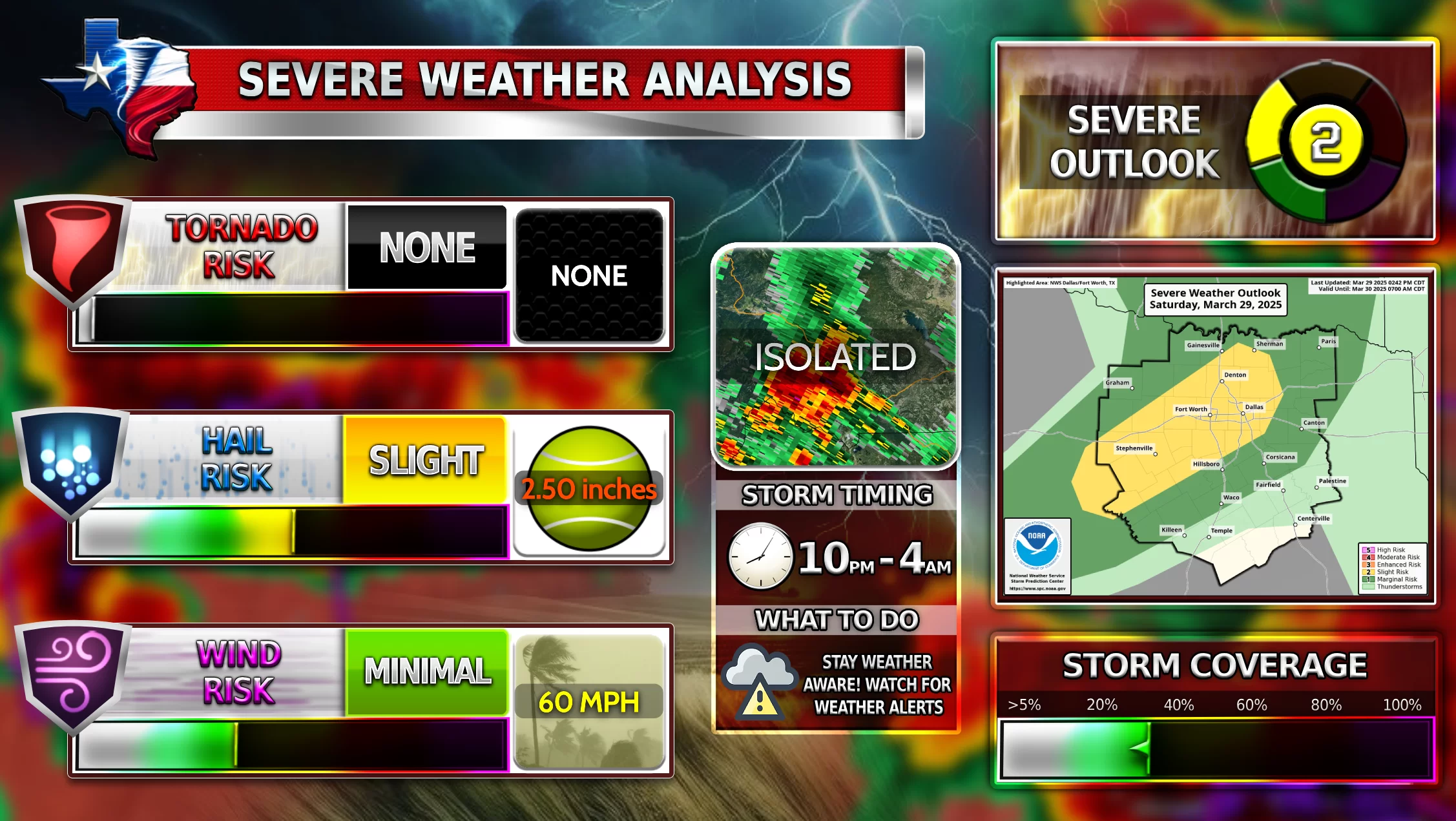
Isolated severe storms are possible for North Texas between 10 PM and 4 AM tonight into tomorrow morning. Confidence has increased for severe weather in DFW tonight, leading to an upgrade to a slight risk. Large hail is the main…
Hail Threat in Tomorrow’s Storms
Isolated severe storms are possible tomorrow for North Texas. There is a lot of uncertainty about where these storms will develop along the dry line that moves through North Texas tomorrow afternoon. If these storms do develop, they will turn…
Weather Photo Contest 2025
Welcome to the all new Texas Weather Center Photo Contest 2025! If you have participated in any of the past contests, you should have an idea of how this will work. The purpose of this contest is to unite the…
UPDATE on Upcoming Extreme Cold
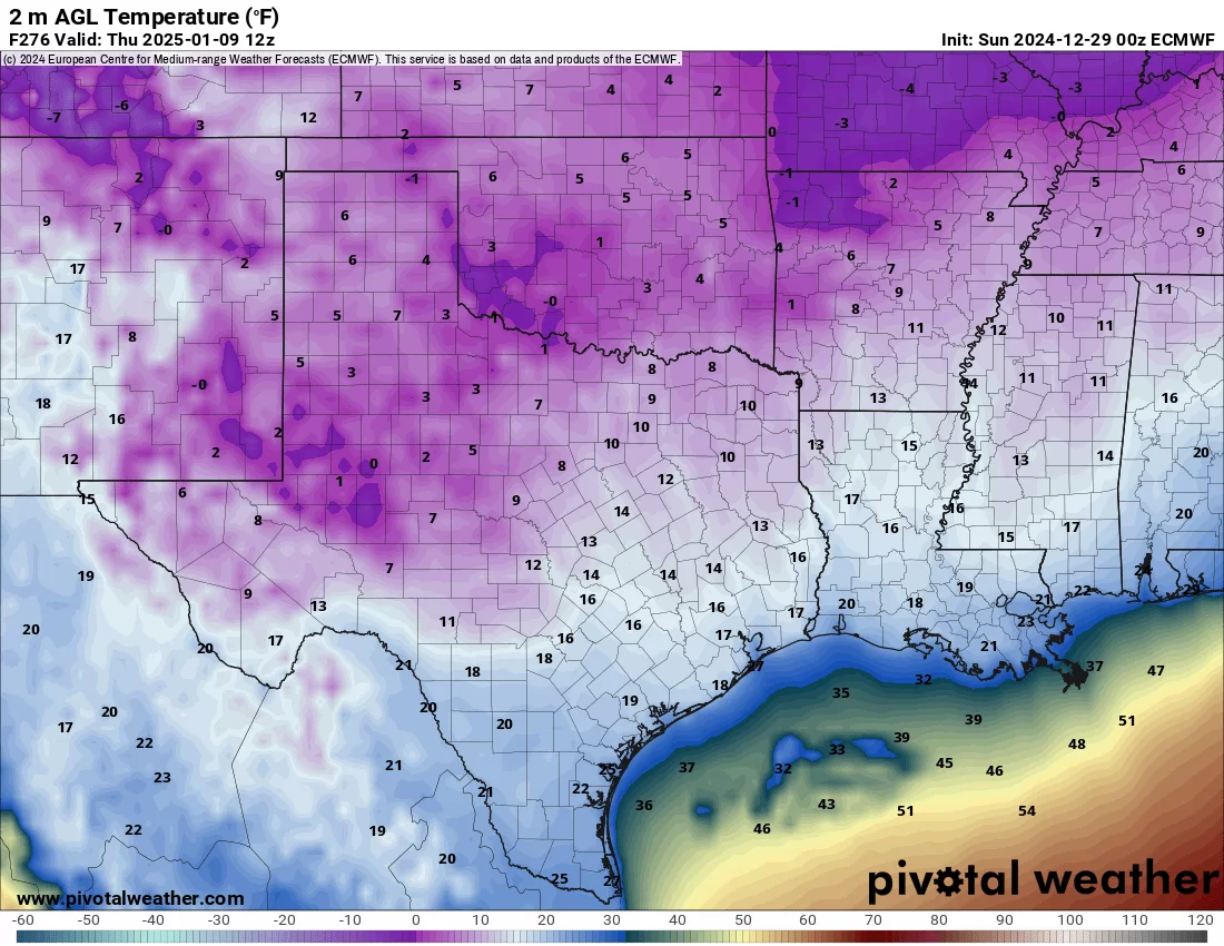
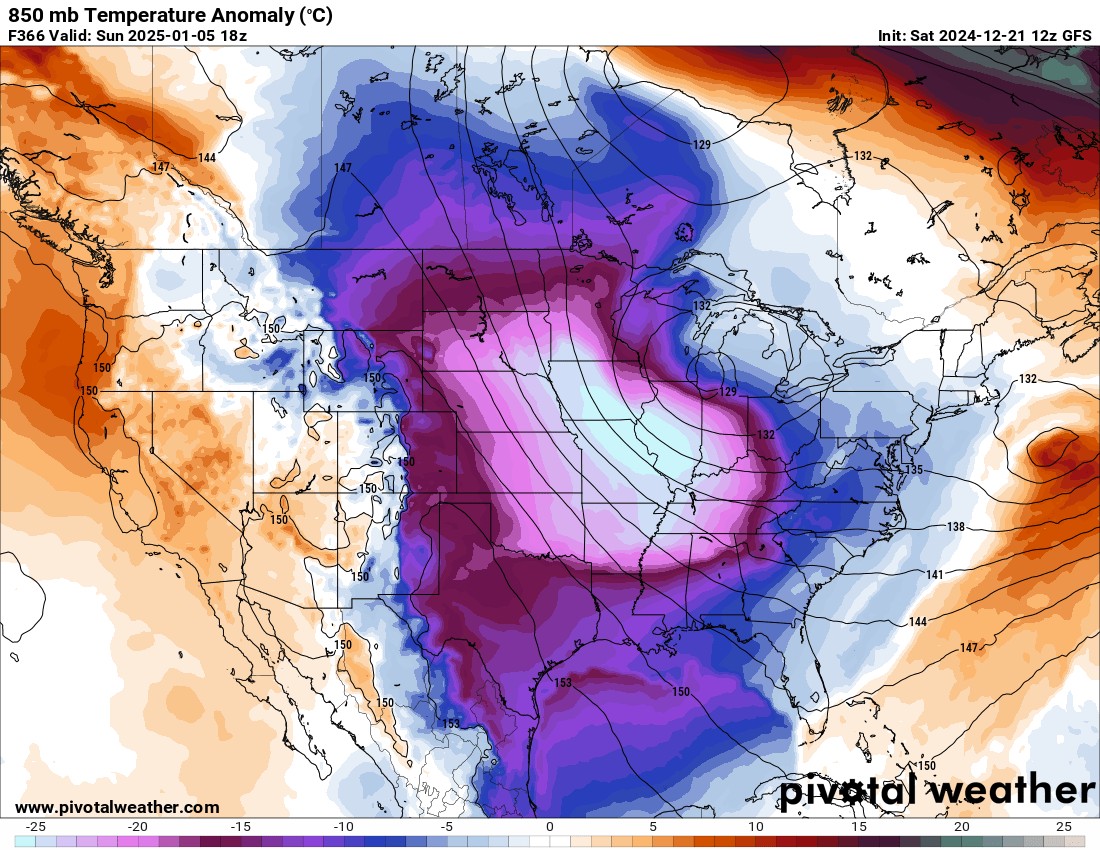
In the 6-10 day temperature outlook, parts of North and Central Texas are in the bullseye for potentially experiencing some of the coldest temperatures this next week! Saturday night into early Sunday morning, the Siberian Arctic blast will move in and…
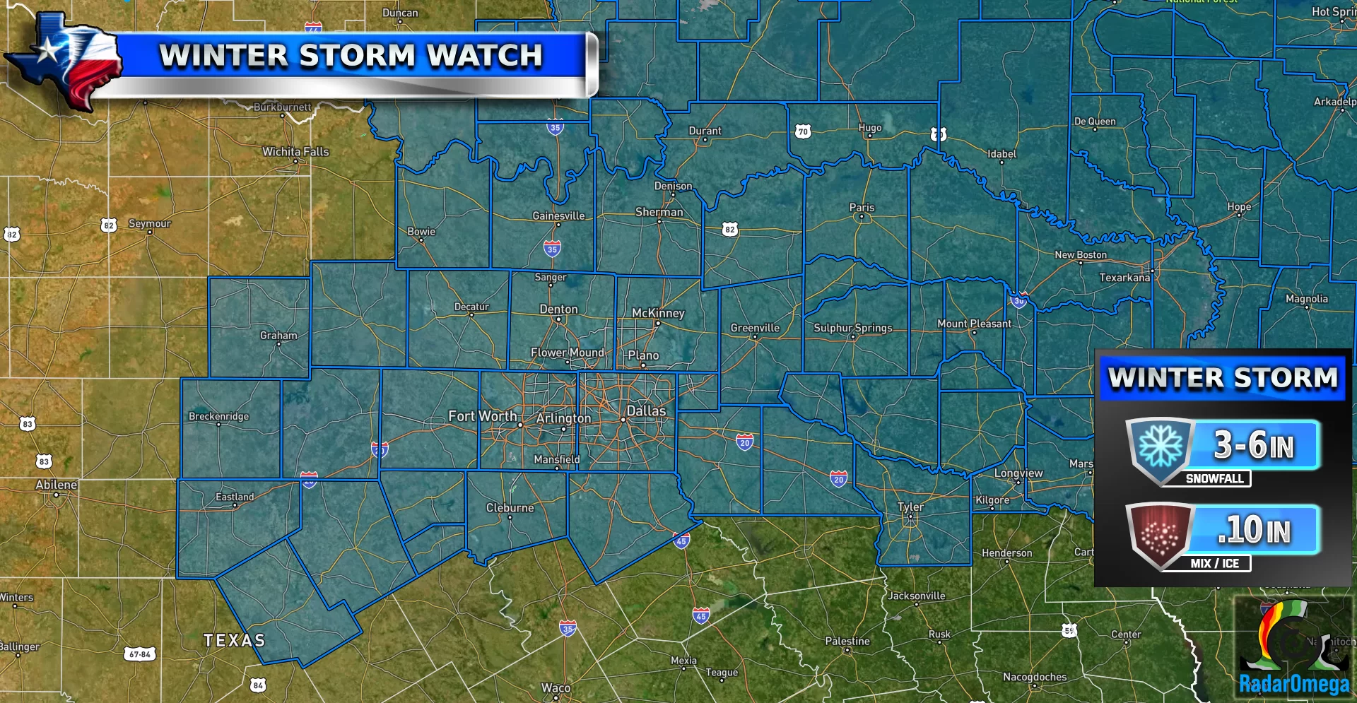
Winter Storm Watch for North Texas
Winter Storm Watch for DFW From NWS: Heavy snow and mixed precipitation are possible. Total snow accumulations between 3 and 6 inches and ice accumulations around one-tenth of an inch possible. Roads, and especially bridges and overpasses, will likely become slick…
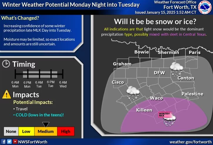
Increasing Winter Storm Potential for Texas
By this evening, temperatures will drop below freezing for North Texas, with some areas hitting the low 20s to upper teens. Due to gusty winds with this cold front, wind chills will drop into the single digits in some areas…
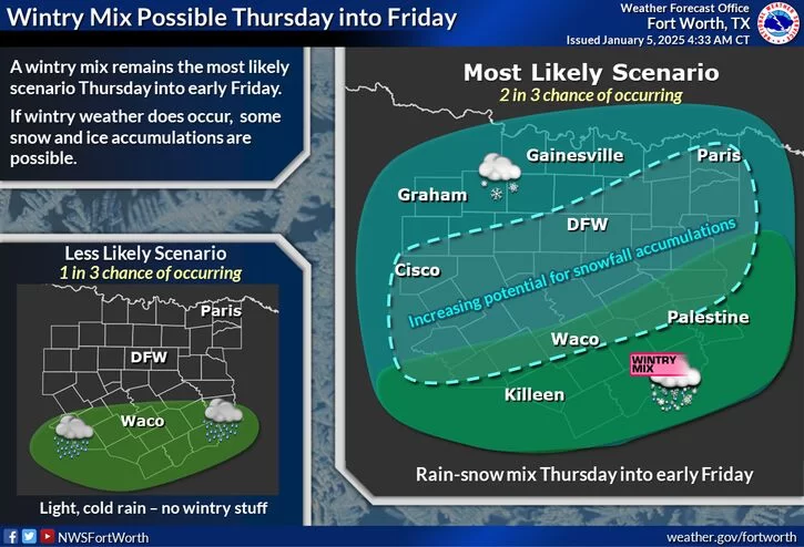
Heavy Snow Potential for North Texas??
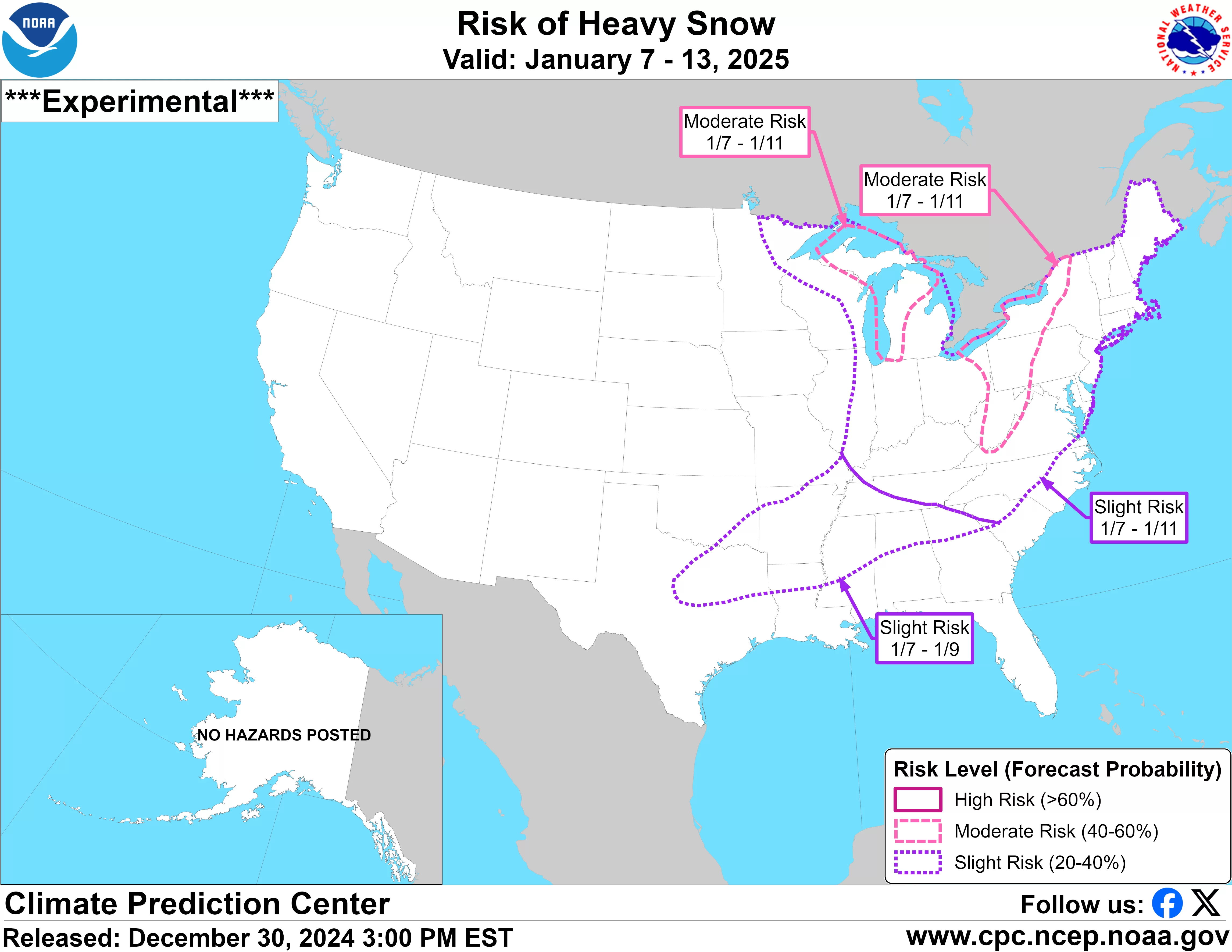
Arctic Blast Potential January 7-11th Update #2 folks! The forecast has changed a little bit since the last TWC post. Some slight temperature modifications and a BIG introduction to potential snow in the forecast for January 9-10th. As I mentioned in…
Arctic Blast Coming in January
Monday Heat Tomorrow could be a hot day for North Texas! Parts of DFW could see daytime highs into the mid-to-upper 70s, and south-central Texas has the best chance of seeing 80-degree weather. This is over +20 degrees above average for…
Severe Weather After Christmas / Arctic Blast
Severe Weather Potential Christmas Week Christmas Eve Storm Three major storm systems will make their way through the southern states this week. The first system will occur on the morning of Christmas Eve. Storms will most likely hit overnight lasting through lunch…
Geminids Meteor Shower 2024: A Celestial Spectacle
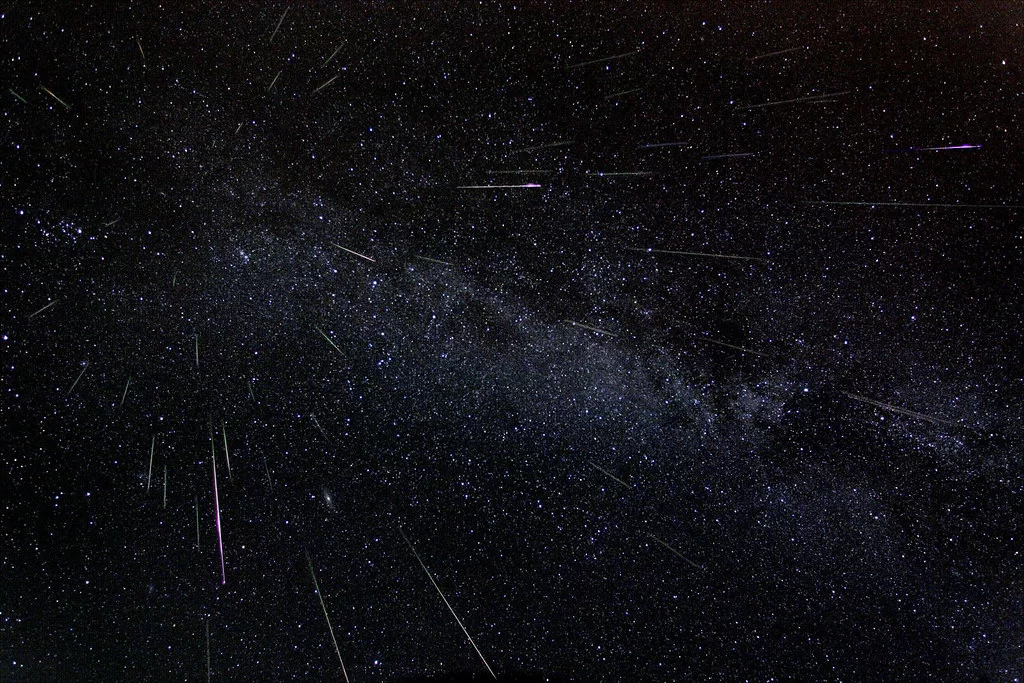
| Geminids Meteor Shower 2024 The Geminids meteor shower is one of the most reliable and dazzling meteor showers of the year. This year, the Geminids will peak overnight on December 13 and 14, 2024. Under ideal conditions, stargazers can expect…
Upcoming Severe Weather Trend
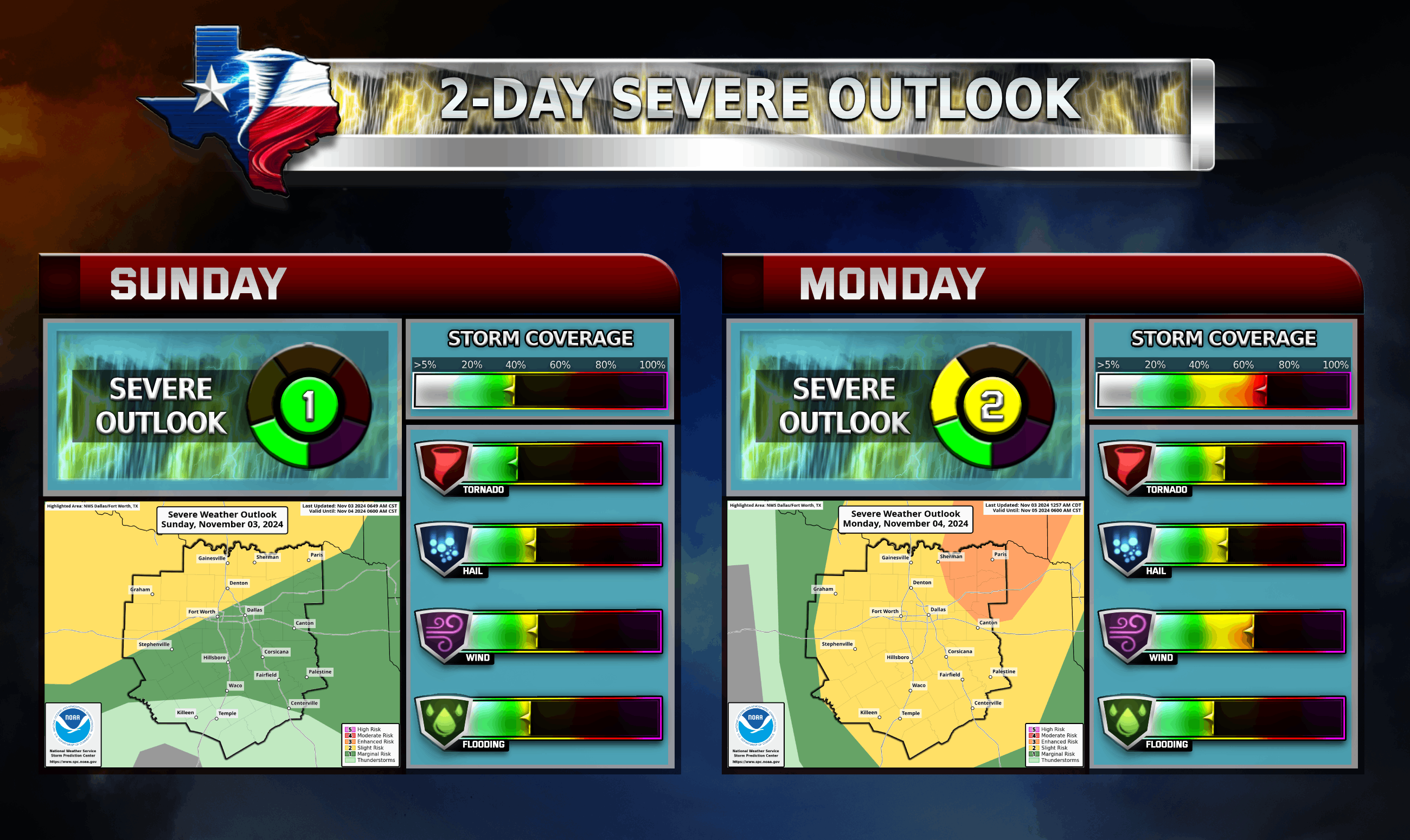
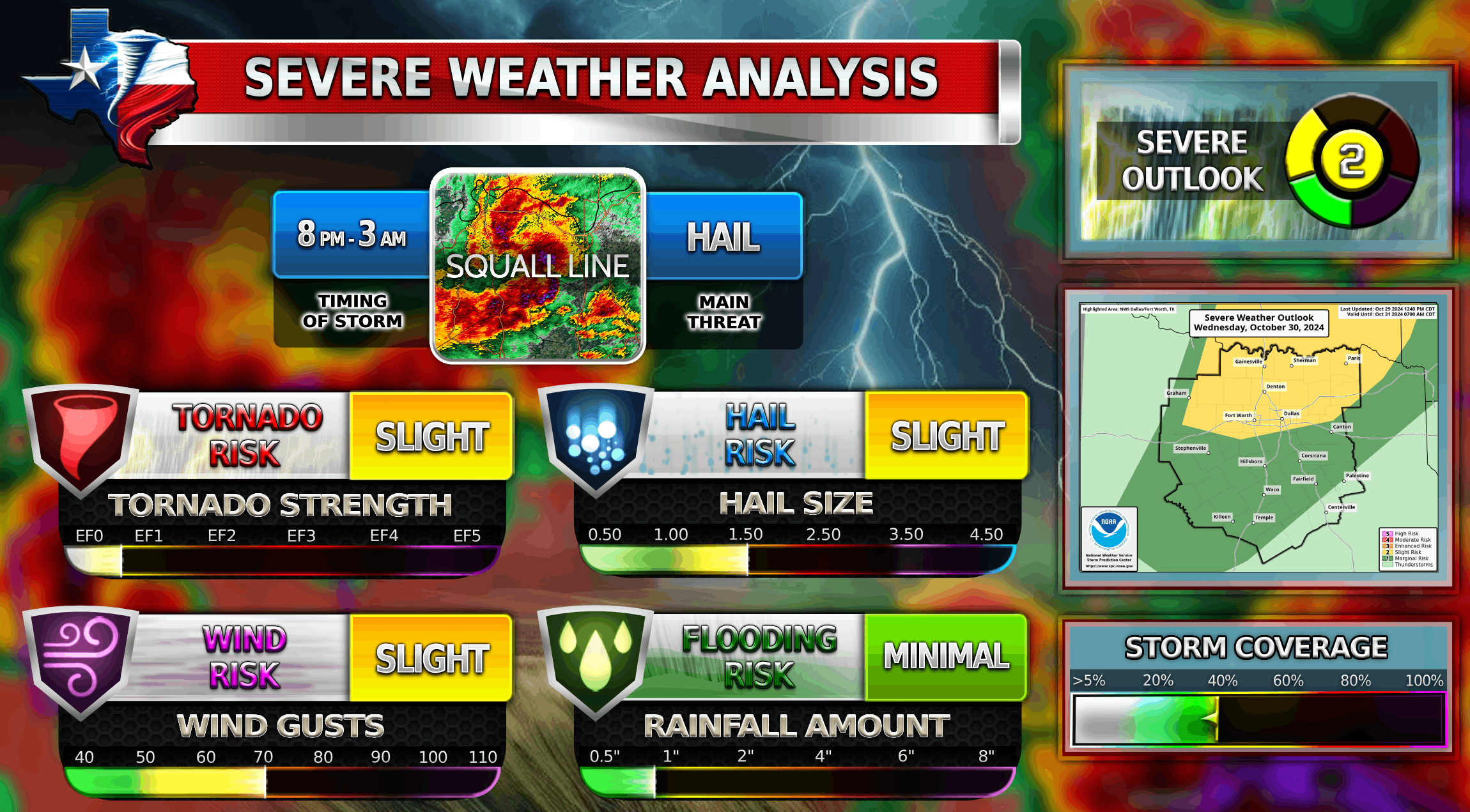
A couple rounds of strong thunderstorms are expected in North Texas today through tonight which will be capable of gusty winds, hail, and heavy rainfall/flooding. Scattered showers and isolated storms are possible farther to the south. A line of storms will…
Severe Weather on Wednesday for DFW
Rain and storm chances are expected to increase on Wednesday as a cold front approaches the region. Some locations will see light rain or drizzle during the morning hours. Windy conditions will continue in the afternoon along with the potential…
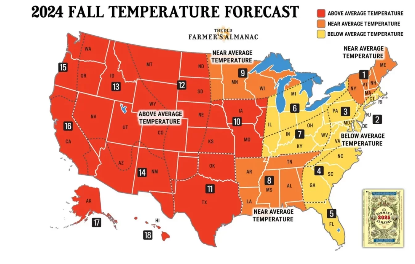
Fall / Winter Outlook 2024-2025
Fall so far for DFW has been above average in temperature, with some areas being 15-20 degrees above average in temperature! As you can see in the image above, Fall for Texas is expected to be well above average til…
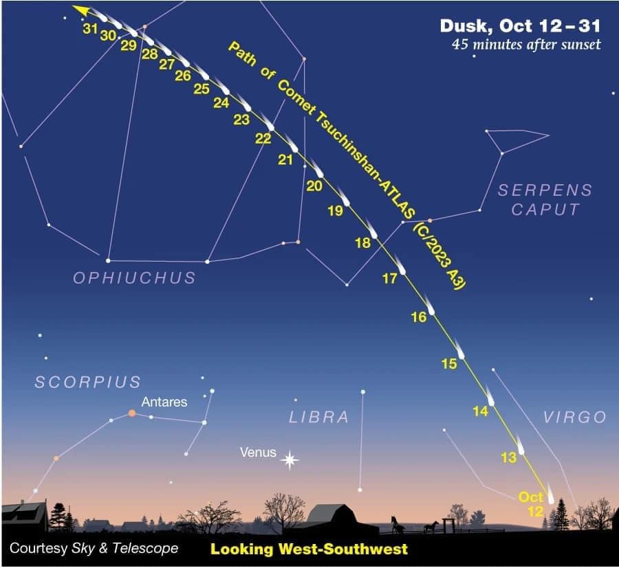
Comet Atlas / Fall Temperatures Arriving
The Comet Atlas has been in full swing lately in the western sky! Watch it in the western sky around 7:00-7:15 PM CDT (25-45 minutes after sunset) tonight! It may be hard to see with the naked eye so be…
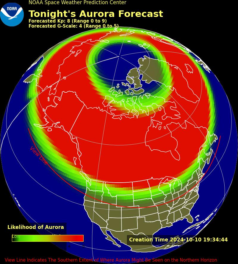
Northern Lights Tonight in Texas!
Heads up North Texas! The Space Weather Prediction Center has issued a G4 watch for a severe, magnetic storm. This means the northern lights could be visible as far south as Texas and Florida! There is no guarantee we will…
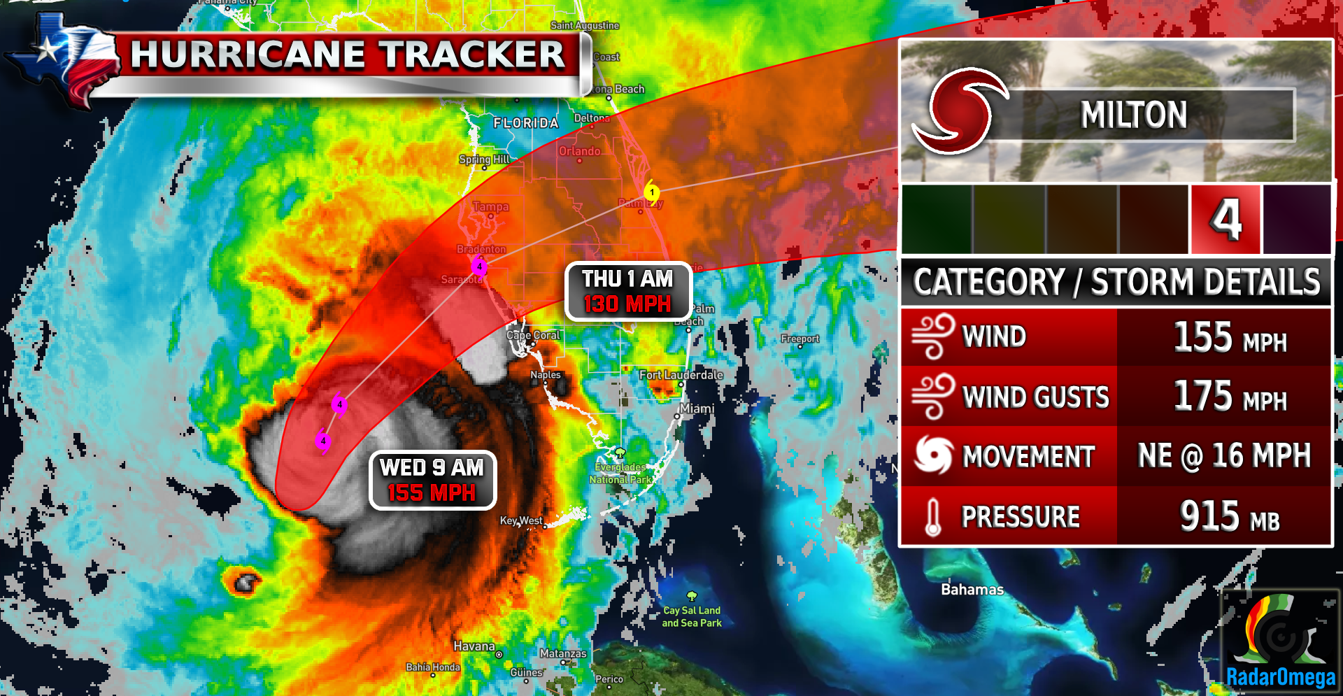
Hurricane Milton Update #2
NHC Latest Updates: A large area of destructive storm surge, with highest inundations of 10 ft or greater, is expected along a portion of the west-central coast of the Florida Peninsula. If you are in the Storm Surge Warning area,…
