| Convective Outlooks
Know severe weather chances for the days ahead in North Texas
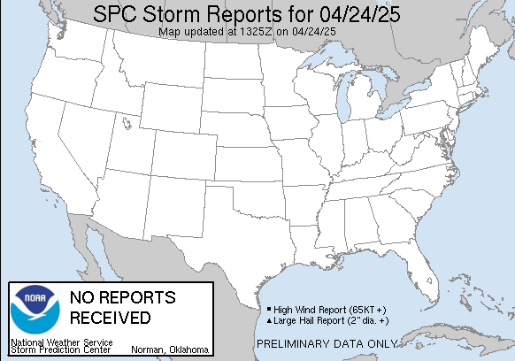
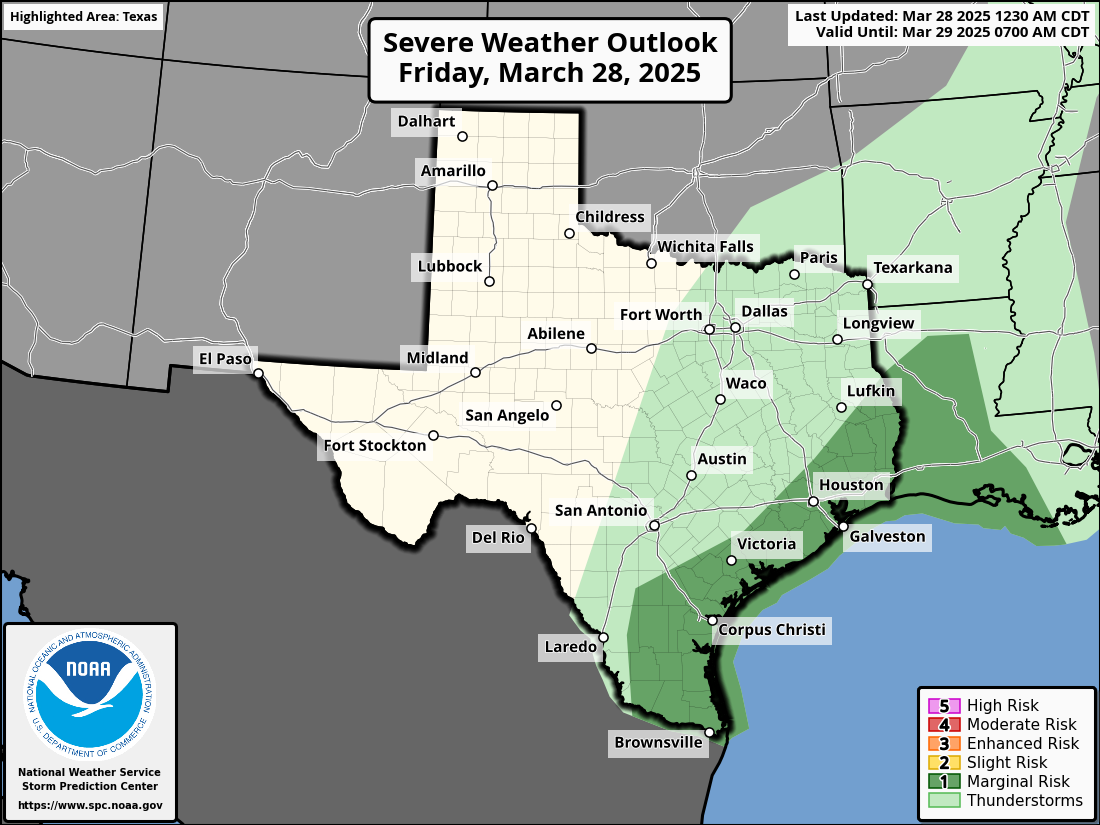
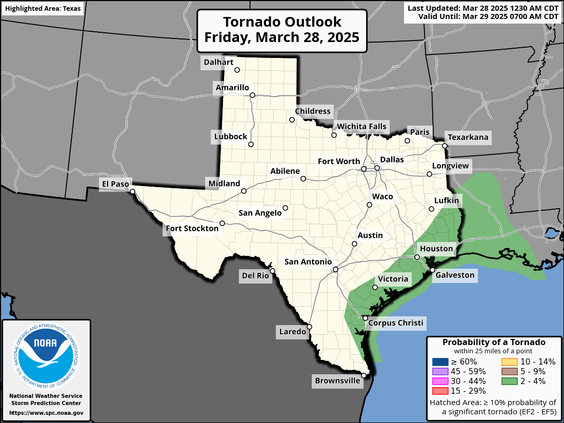
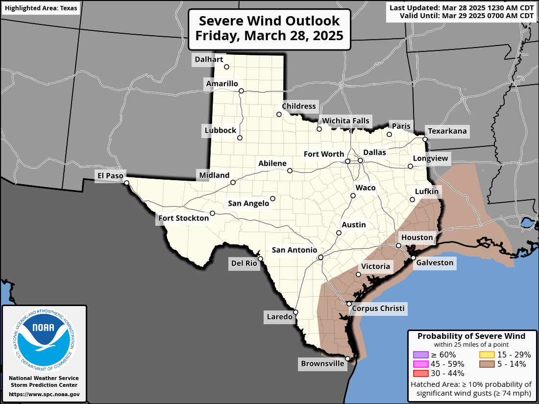
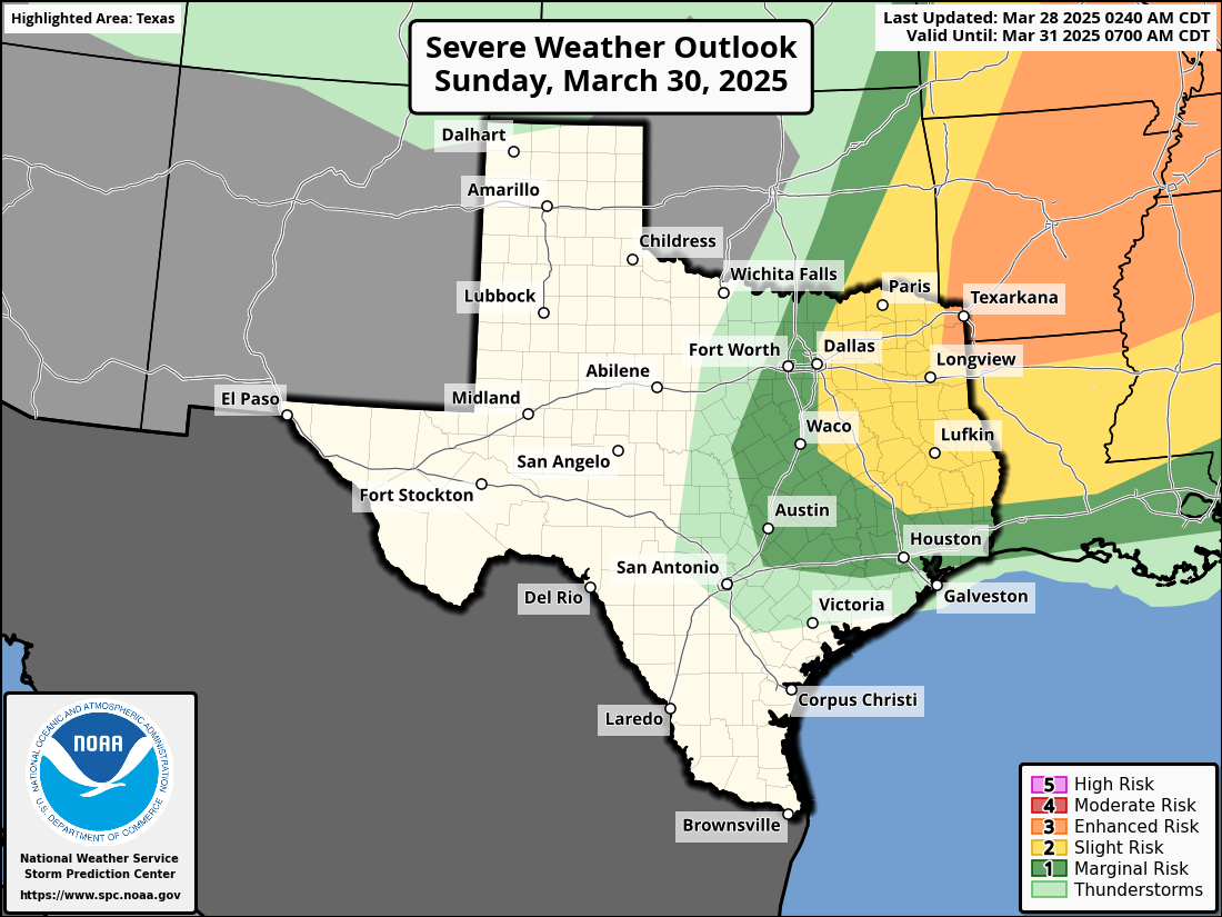
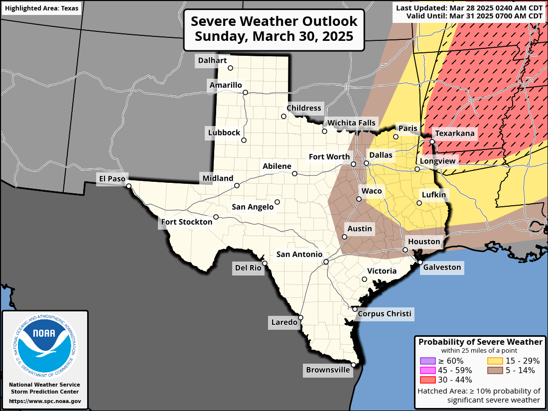
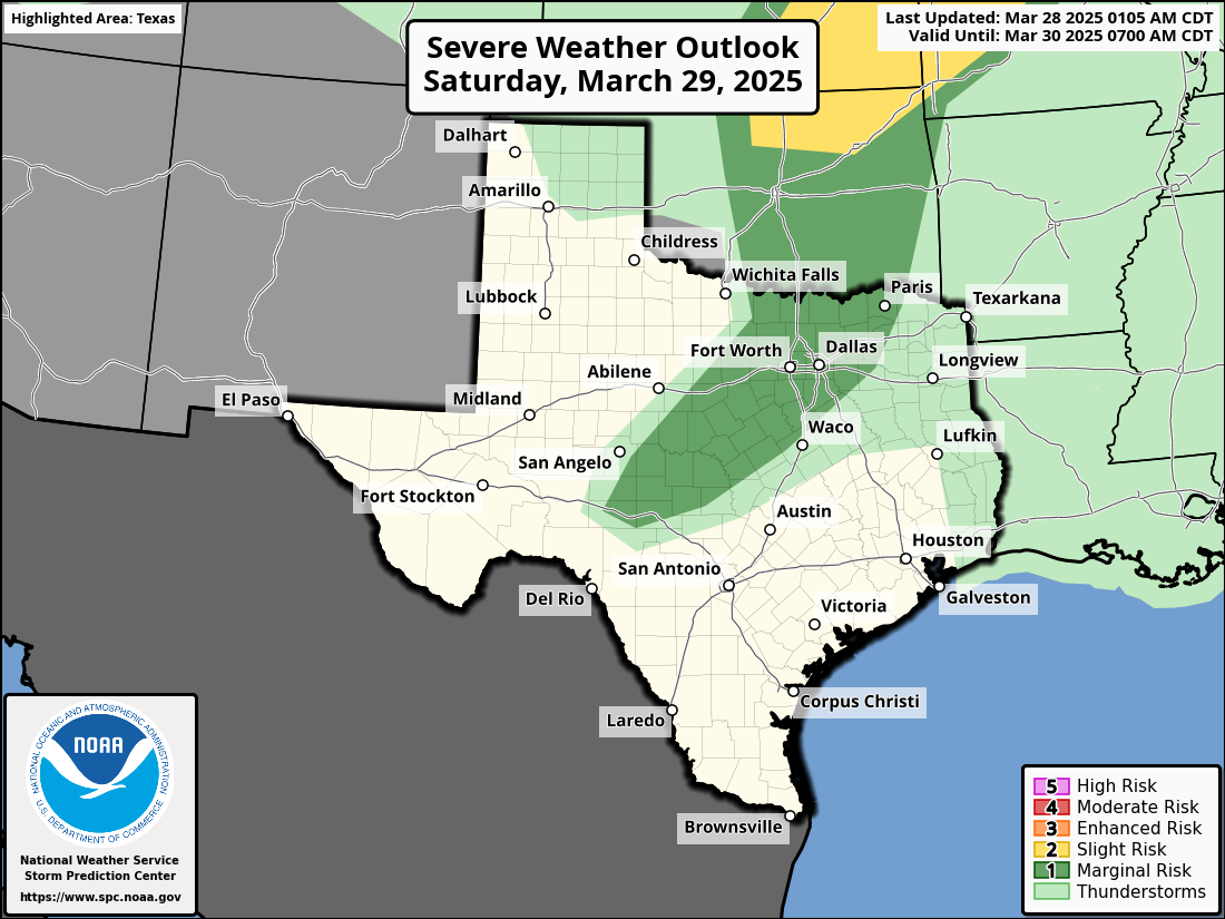
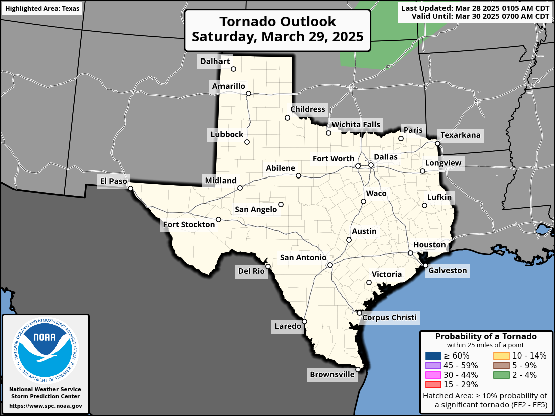
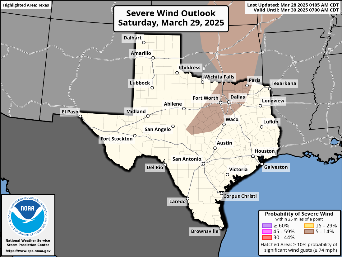
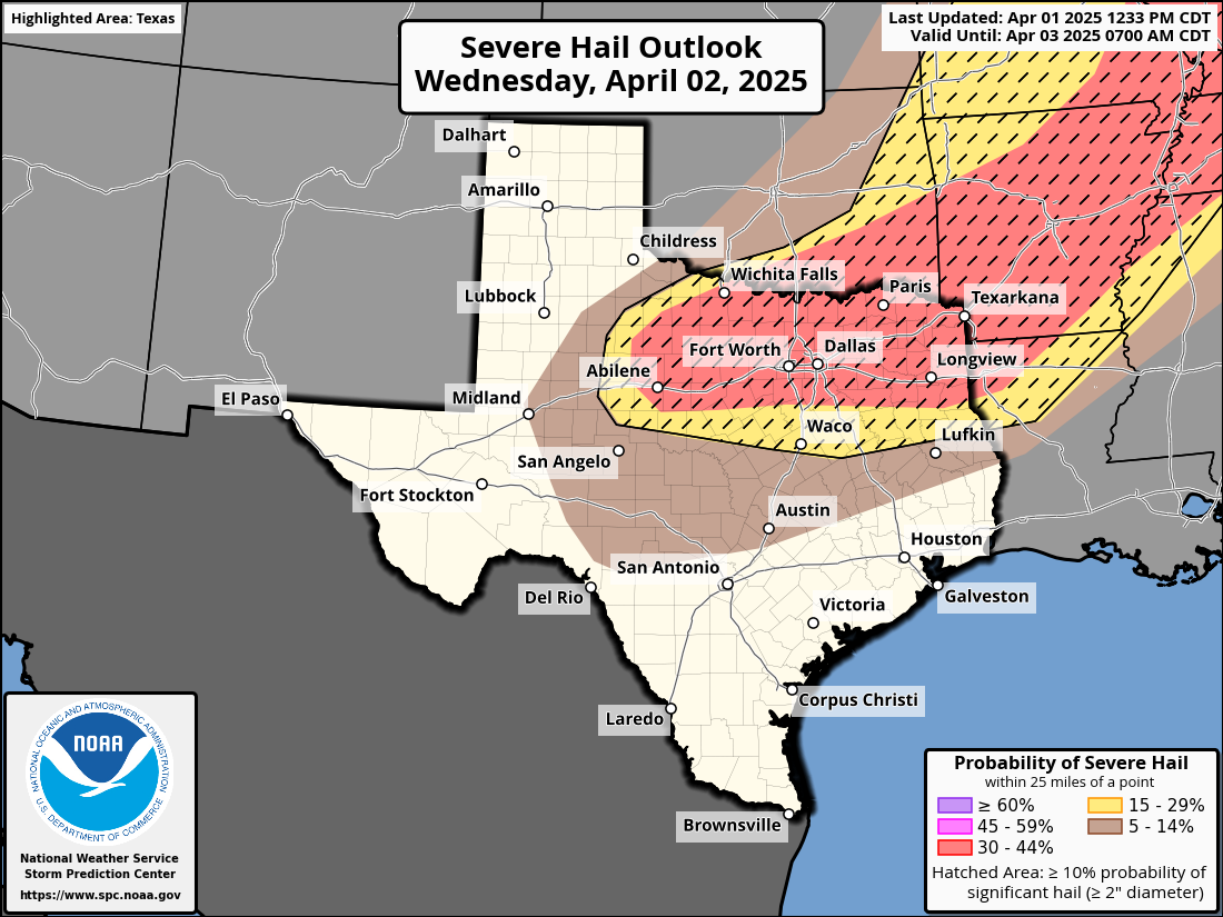
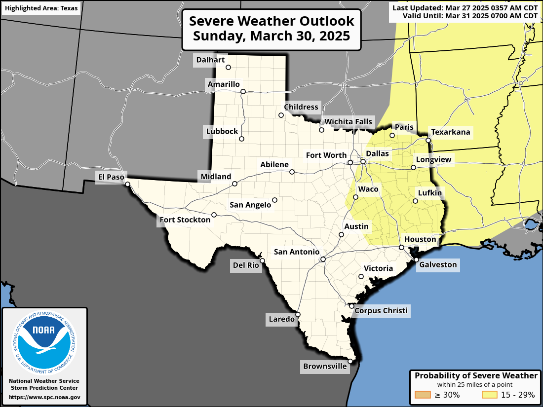
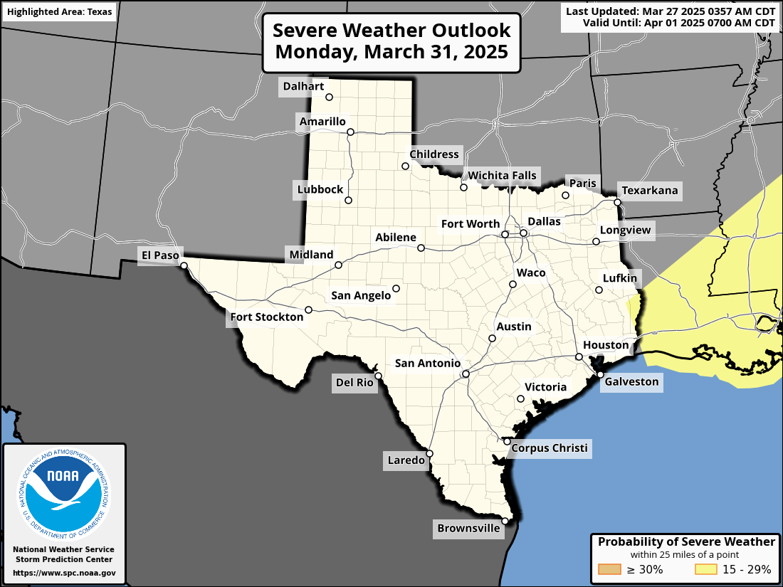
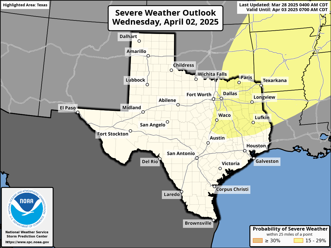
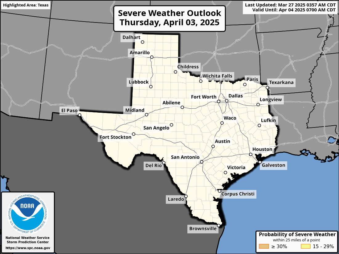
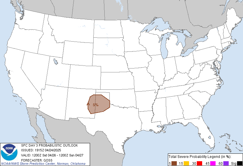
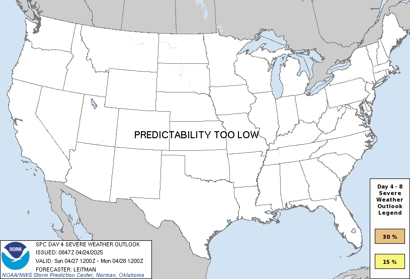
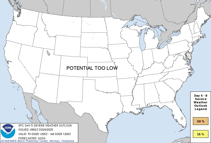
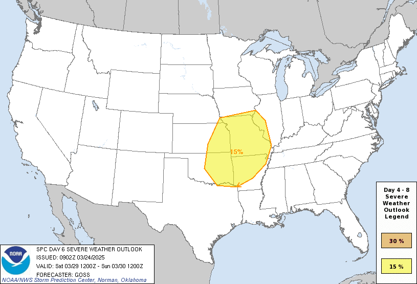
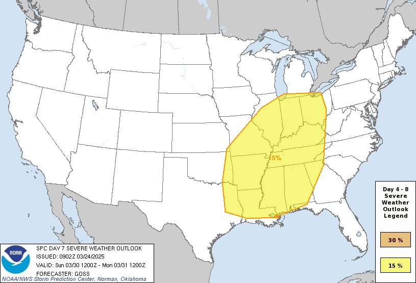
Convective Outlooks are meteorological forecasts issued by organizations like the Storm Prediction Center (SPC) in the United States to predict the likelihood of severe thunderstorm development and the associated hazards over a specified time frame. These outlooks are crucial for planning, preparedness, and public safety. Convective outlooks provide a concise and visual summary of the expected weather conditions, particularly in terms of severe weather events. They use various categories to assess the level of risk and the potential hazards associated with convective storms. Here’s a list of the categories and associated hazard types:
- Marginal Risk:
- Hazards: Isolated severe storms with limited wind and hail potential.
- Slight Risk:
- Hazards: Scattered severe storms with a risk of damaging winds, large hail, and isolated tornadoes.
- Enhanced Risk:
- Hazards: Numerous severe storms with a significant risk of widespread damaging winds, large hail, and a few tornadoes.
- Moderate Risk:
- Hazards: Widespread severe storms with a higher likelihood of widespread damaging winds, large hail, and multiple tornadoes.
- High Risk:
- Hazards: An extremely high risk of widespread and intense severe storms, including widespread damaging winds, large hail, and numerous tornadoes, including strong tornadoes.
Convective outlooks are instrumental for meteorologists and the public to understand the potential for severe weather and take appropriate precautions. They help to mitigate the impact of convective storms on communities, agriculture, and infrastructure while ensuring public safety during severe weather events.
SPC Outlooks

Day 1

Tornado Risk

Wind Risk

Hail Risk


Day 3

Probability

Day 2

Tornado Risk

Wind Risk

Hail Risk

Day 4

Day 5

Day 6

Day 7

Day 8

CSU Machine-Learning Severe Outlook
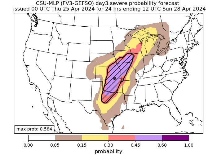
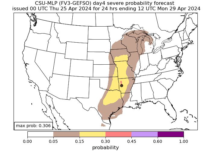
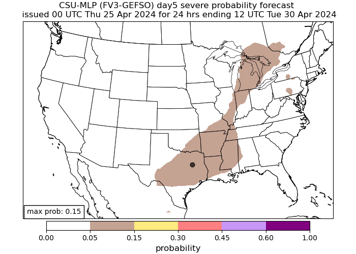
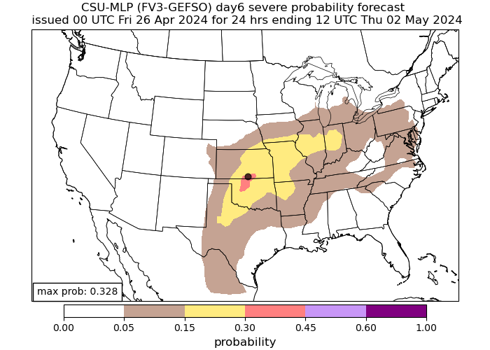
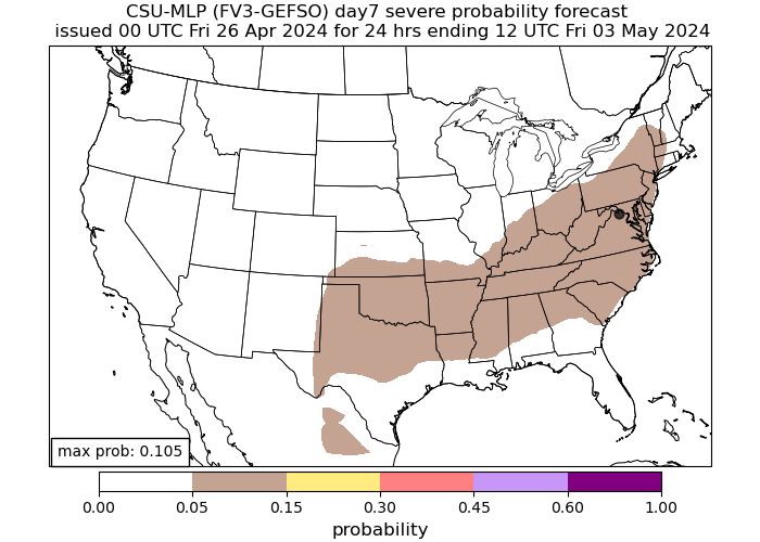
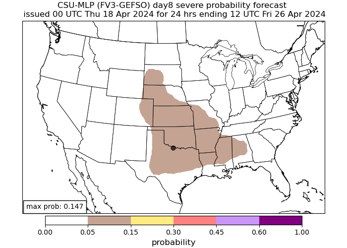
The CSU (Colorado State University) machine-learning weather model refers to a suite of numerical weather prediction models developed and maintained by the Department of Atmospheric Science at Colorado State University. These models are used for both research and operational weather forecasting. The research CSU specializes in involves the prediction of extreme weather hazards via statistical postprocessing techniques. These models forecast farther out than SPC models can in most cases, giving a good idea to the general public about what severe weather events may come in the near future.

Day 1

Day 2

Day 3

Day 4

Day 5

Day 6

Day 7

Day 8


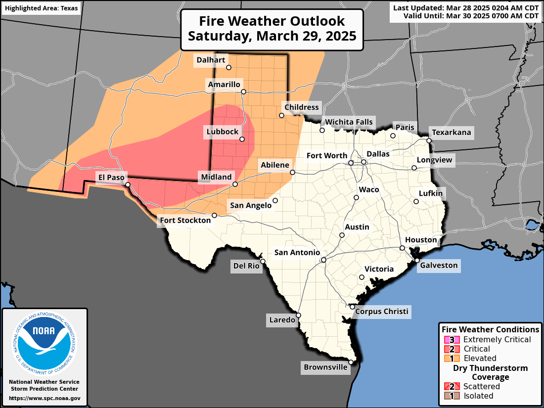
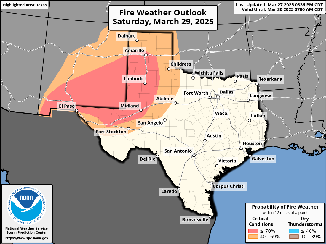
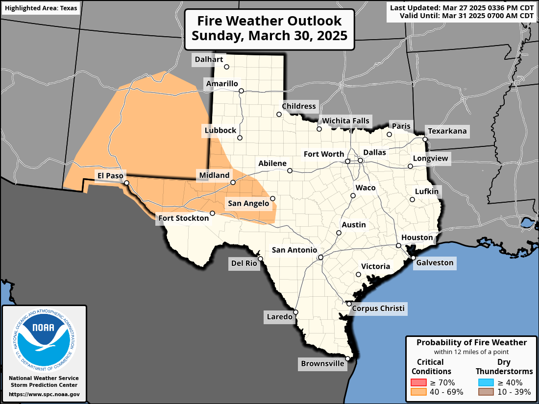
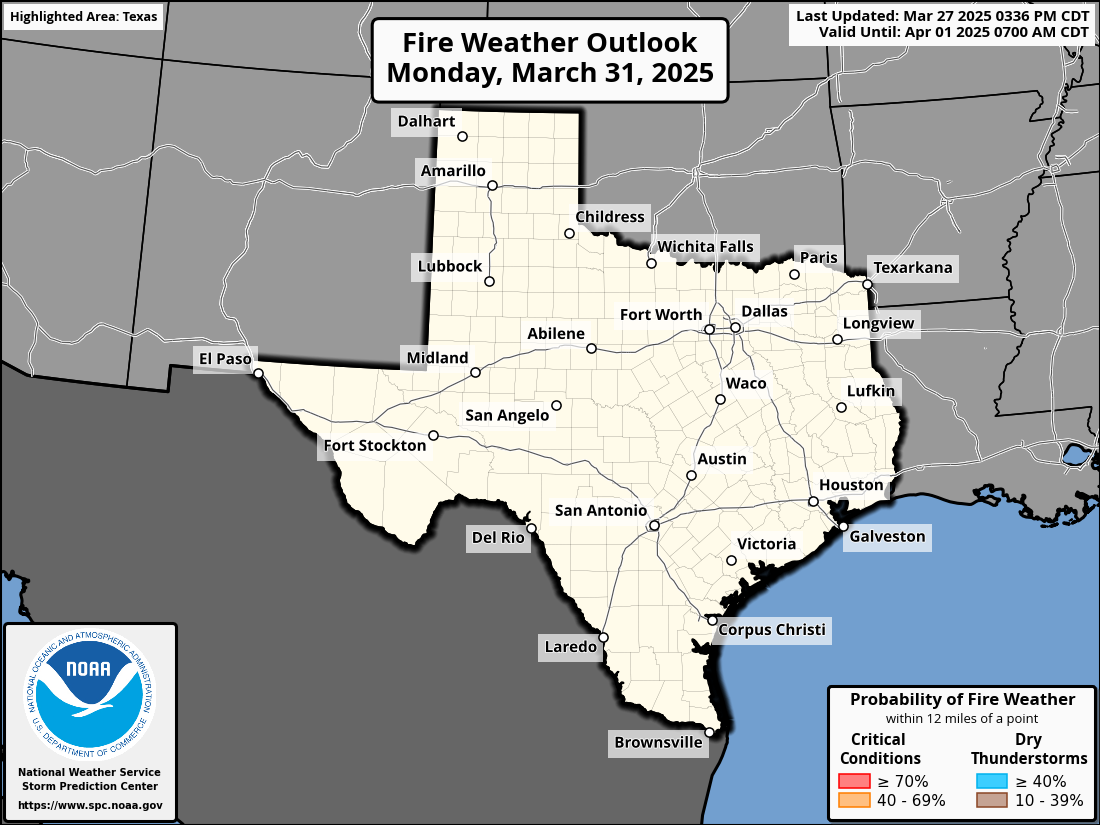
Fire Weather Outlook
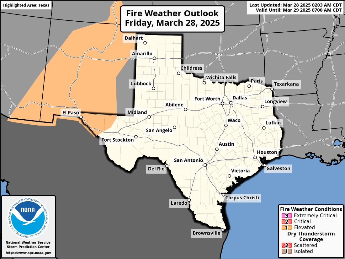
A Fire Weather Outlook is a crucial meteorological tool that assesses the potential for wildfires based on prevailing weather conditions. These outlooks are pivotal for various sectors, including fire management agencies, land managers, and public safety. Fire Weather Outlooks often include different categories, specifically addressing dry thunderstorm coverage and fire danger levels:
Dry Thunderstorm Coverage Categories:
- Isolated Dry Thunderstorms: Predicts isolated occurrences of dry thunderstorms, where lightning and thunder occur without significant rainfall, increasing the risk of wildfire ignition.
- Scattered to Numerous Dry Thunderstorms: Indicates a higher likelihood of dry thunderstorm activity, posing a more significant wildfire risk.
Fire Weather Conditions:
- Elevated Fire Danger: Conditions are generally favorable, with low wildfire risk.
- Critical Fire Danger: Conditions are becoming conducive to wildfires, but the risk is moderate.
- Extremely Critical Fire Danger: Conditions are highly favorable for wildfires, with an increased risk of rapid spread and intensity.
These outlooks consider factors such as temperature, humidity, wind, and fuel moisture. They serve as a proactive measure, helping agencies and the public prepare for potential wildfire outbreaks, allocate resources effectively, and issue warnings and advisories to prevent and manage wildfires.

Day 1

Day 2

Day 3

Day 4

Day 5
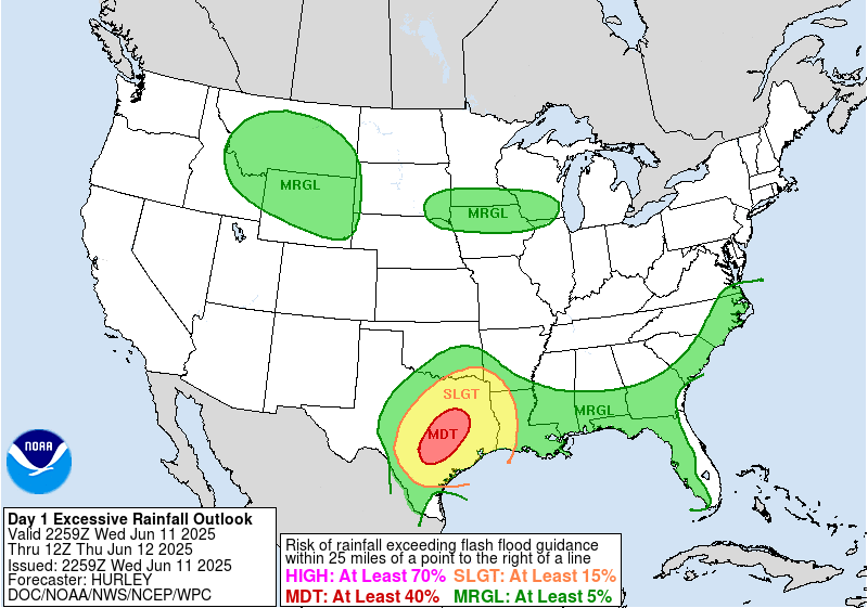
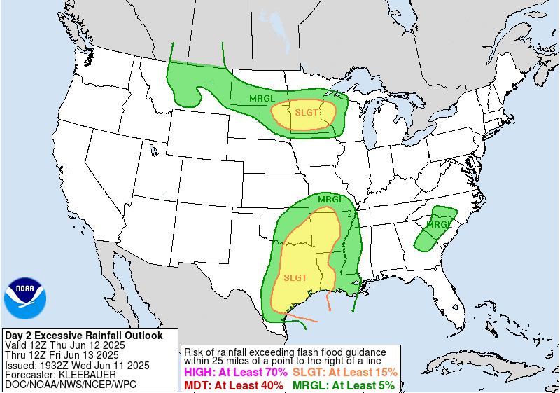
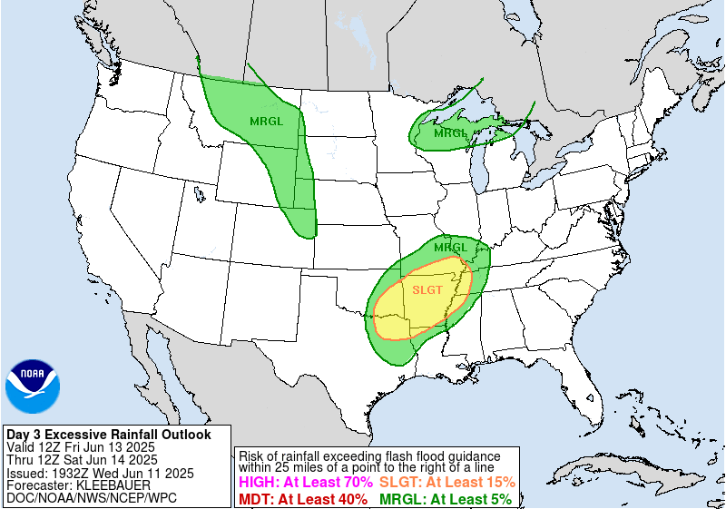
Flash Flood Outlook
A Flash Flooding Outlook is a meteorological forecast that assesses and communicates the risk of flash floods, which are rapid and potentially life-threatening inundations caused by intense rainfall, snowmelt, or other factors. These outlooks are instrumental in providing early warnings to the public and emergency management agencies, helping them prepare for and mitigate the impact of flash flooding events.
Flash Flooding Outlooks commonly include the following categories to indicate the level of risk:
- Marginal Risk (At least 5%):
- Indicates a low probability of flash flooding.
- Suggests isolated, localized, or minor flooding issues.
- Slight Risk (At least 15%):
- Implies a moderate probability of flash flooding.
- Anticipates scattered flash flooding events with a potential for localized problems.
- Moderate Risk (At least 40%):
- Signifies a notable probability of flash flooding.
- Expects widespread flash flooding, possibly causing significant issues.
- High Risk (At least 70%):
- Indicates a substantial likelihood of flash flooding.
- Foresees widespread and potentially life-threatening flash flooding events, which could result in severe consequences.

Day 1

Day 2

Day 3
Other SPC Outlooks

Map
Watches

Storm Reports
Current Hazards

Weather Radar


